HLS RouteFinder
Active travel routes from Headington to places you want to go!*


We often hear from people who are used to driving around Oxford that they don’t know how to get to the places they need or want to get to using active travel (cycling, walking and wheeling), or don’t feel safe using active travel options on the routes they know about.
In Oxford there are many short-cuts and pleasant routes to get to places using active travel that are not open or available to cars, which can often mean a journey to a given destination is shorter, quicker and quieter by cycling, walking or wheeling – and often generally just nicer, too! Sometimes the routes are a bit longer to avoid difficult or unpleasant roads and junctions, but still tend to be nicer and mean you can enjoy the journey as well as the destination…
With the new low traffic neighbourhoods in Cowley and East Oxford and protected cycle lanes on Warneford Lane, the active travel routes between Headington and destinations in East and South Oxford have significantly improved and increased. (We just need to get low traffic neighbourhoods in Headington now so that we can have the same benefit of good active travel routes throughout Headington..!)
So we thought we’d publish some routes that we know and use regularly to popular or useful destinations around Oxford.
All these routes are traffic-free or traffic-light as far as possible, and where main roads need to be crossed, we try to take a route incorporating a pedestrian/cycle crossing nearby.
Unfortunately, Oxford still has a long way to go to make active travel safe and enjoyable, particularly on the main roads and junctions, so there are imperfect elements in all these routes – but we’re not miracle workers!
If you know of any good active travel routes to destinations not featured on this page, or know an alternative/better active travel route to any of the destinations featured, please let us know at hello@headingtonliveablestreets.org.uk and we can share them here.
If you need a good active travel route to a destination not featured on this page, please contact us at hello@headingtonliveablestreets.org.uk and we’ll try to produce one and share it on this page.
*Some are places you need to go, rather than want to go!
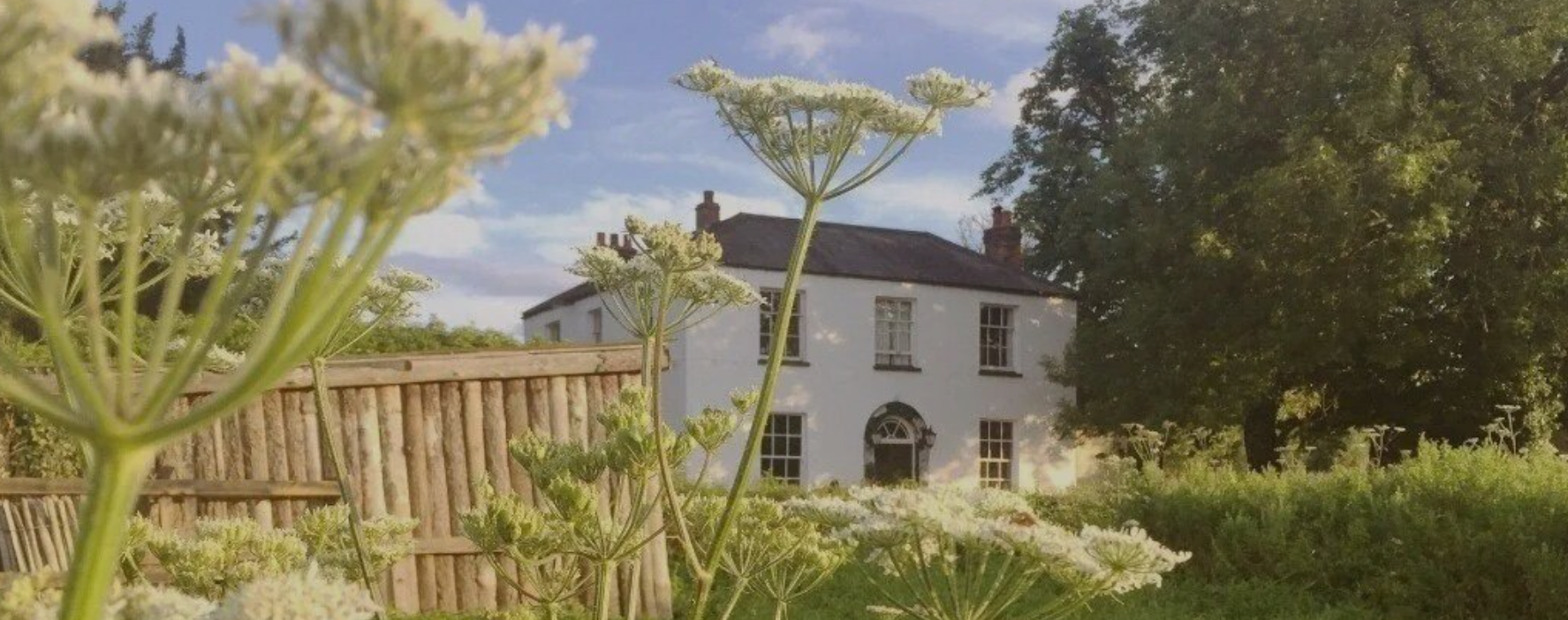
Cherwell Boathouse, North Oxford
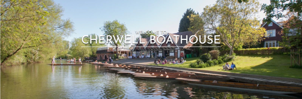
Cherwell Boat House is a lovely place to hire a punt or rowing boat to enjoy the river – you can head North up to the Victoria Arms in Old Marston or South through University Parks and further into town. There’s also a nice restaurant there.
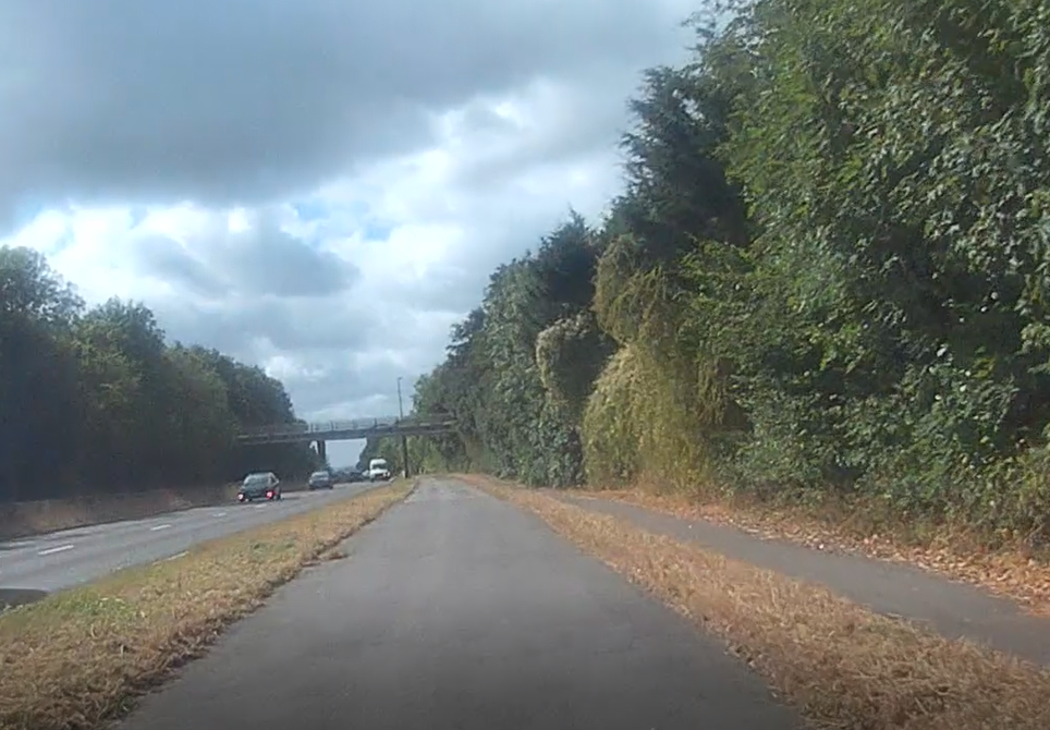
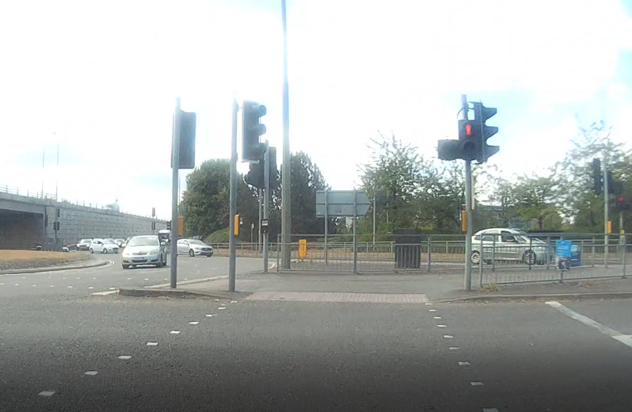
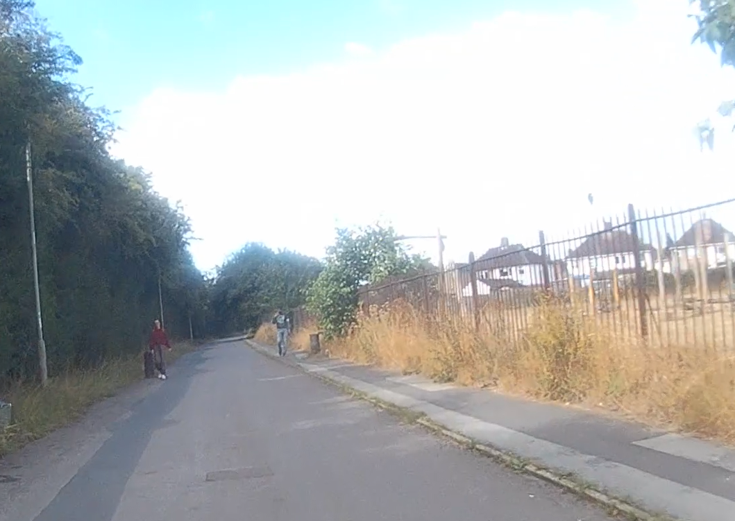
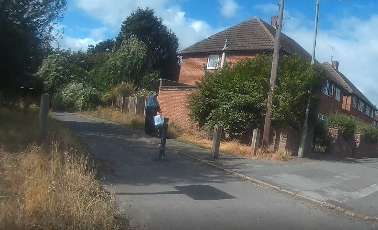
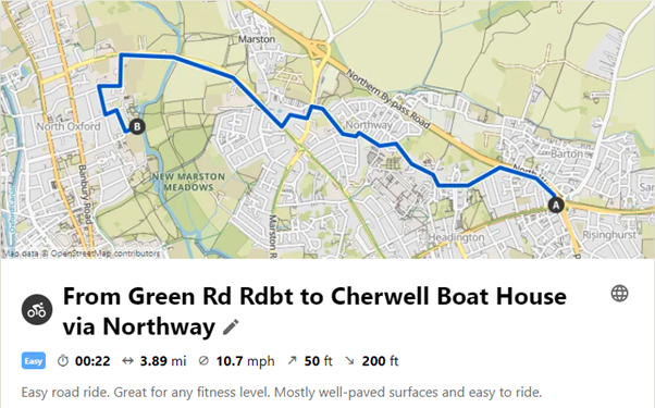
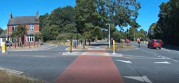
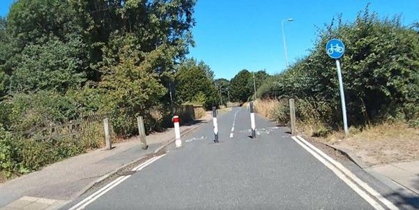
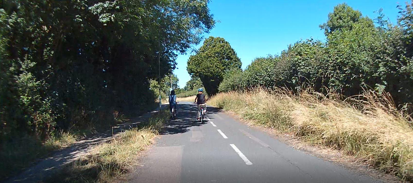
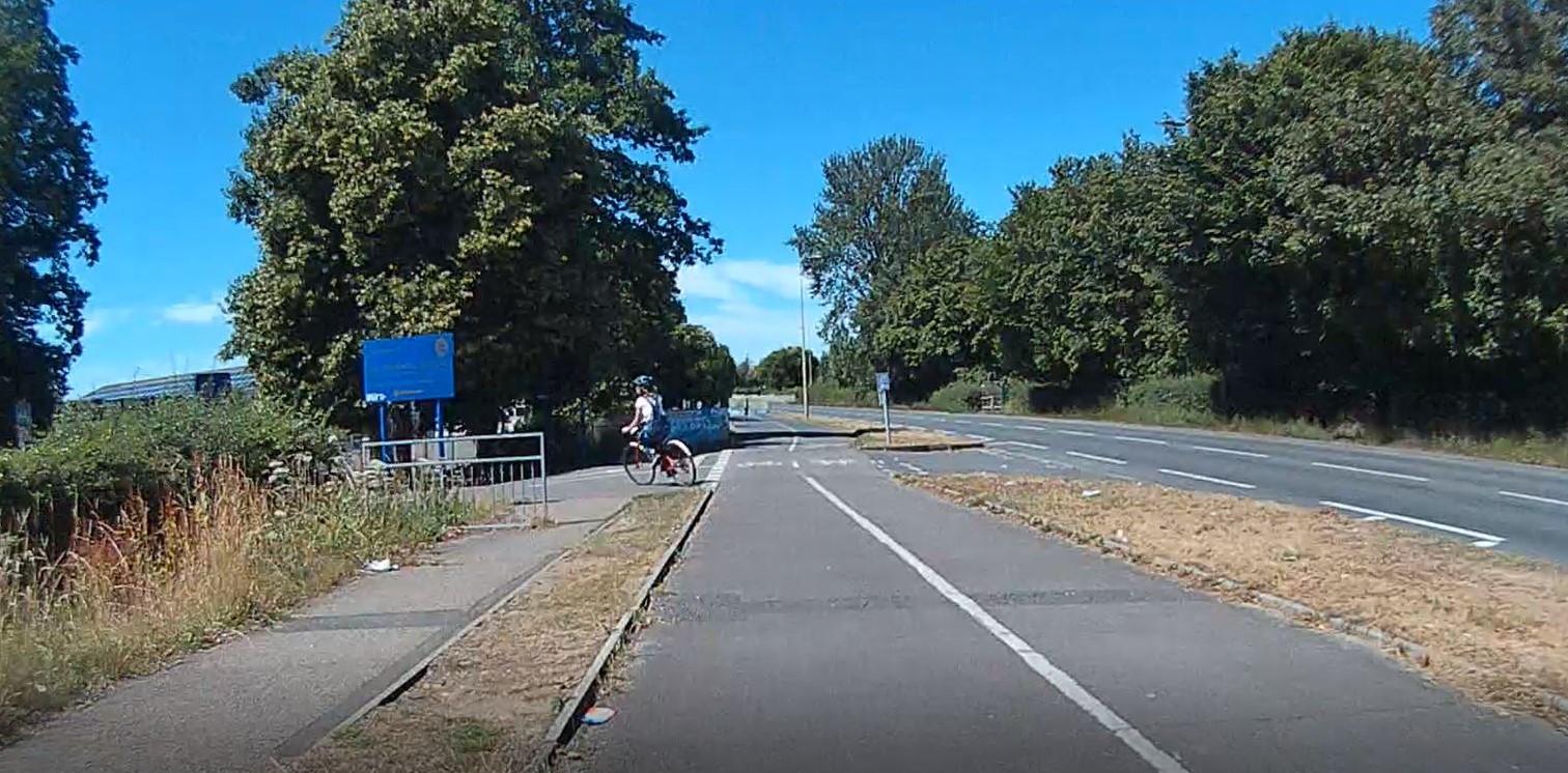
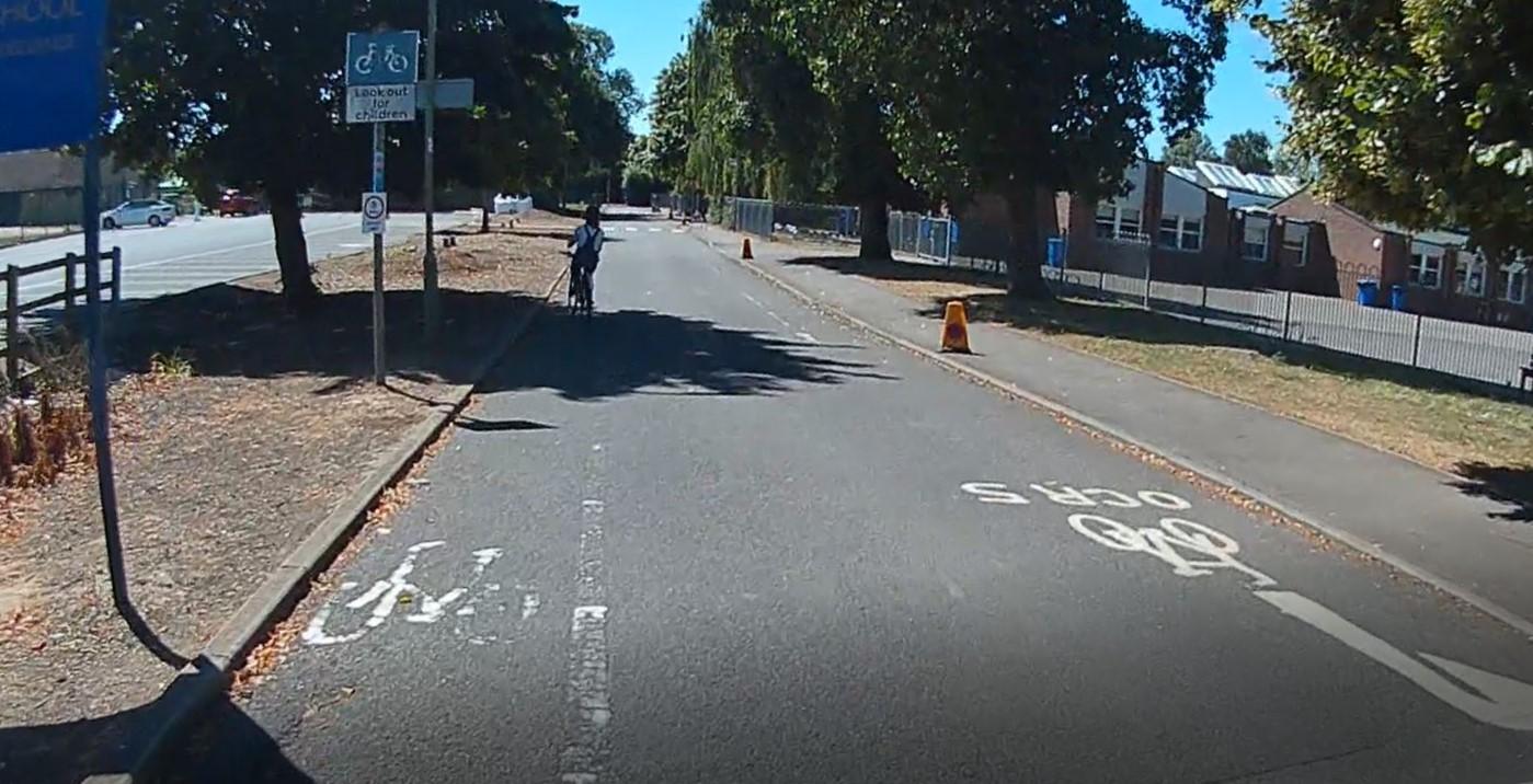
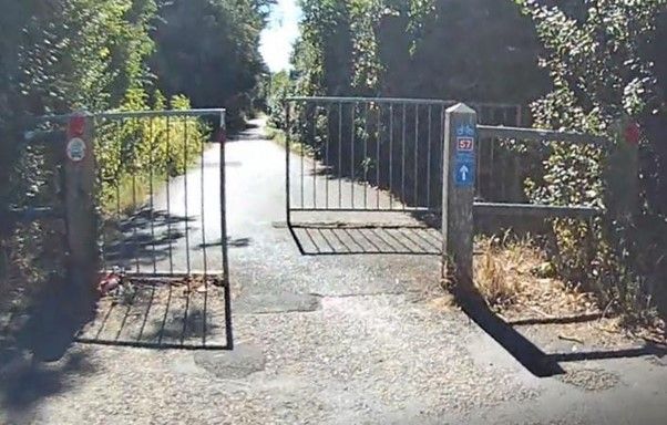
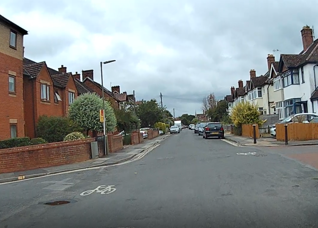
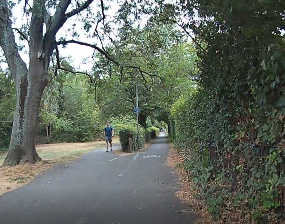
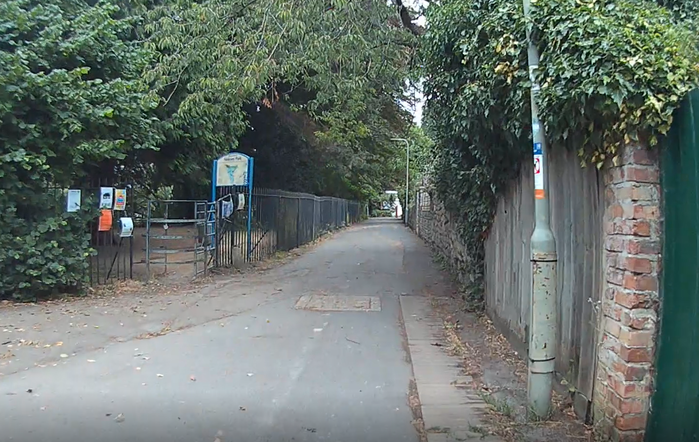
The route starts at Green Road Roundabout and goes through Old Headington and Northway, through the wooded track behind OXRADS down to Marsh Lane, through Elms Drive, along the off-road cycle track on Cherwell Drive and Oxford’s best cycle track on Marston Ferry Road then follows part of Official Cycle Route 5 through quiet North Oxford residential streets.
Although the route crosses Marsh Lane and Cherwell Drive, there are pedestrian crossings near OXRADS on Marsh Lane and just before Marston Ferry Road on Cherwell Drive which you can use.
The bike parking at the boat house isn’t fantastic or extensive, although there is extra room on the fence to lock your bike to. However, there is a generally welcoming vibe for people arriving by bike and foot, and many people do.
This route would be even better and safer if we had the Old Headington low traffic neighbourhood we were promised and for which the Council received funding, as this would have removed all the cut-through motor traffic along Barton Lane and Dunstan Road.
(An alternative route is to go straight down Headley Way on the relatively new off-road cycle path. The cycle path is about 50% good and 50% bad but really fails for cyclists at the junctions – the John Radcliffe Hospital junction and the Marston Road/Marsh Lane/Copse Lane junction in particular– meaning it can be quite stressful and dangerous to navigate these, particularly with children. Unfortunately, this was a missed opportunity to create a really good active travel route because the Council ignored pleas of groups such as Cyclox to create continuous cycle lane and pavement across side road entrances and avoid shared pedestrian/cyclist space and instead spent the bulk of the available money building a huge supporting wall to enable free on-road parking spaces for 19 houses to be retained, creating quite a dangerous stretch there for pedestrians and cyclists as a result. They also failed to protect the cycle lane with bollards or kerbing, so you’ll often find it blocked by private cars, taxis and trade and delivery vans.)
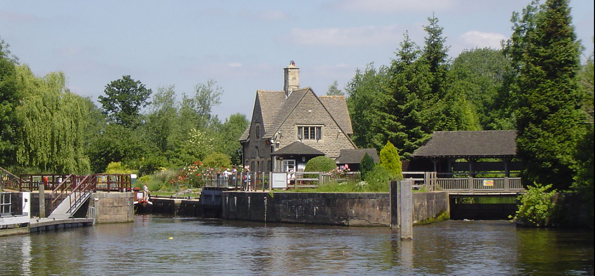
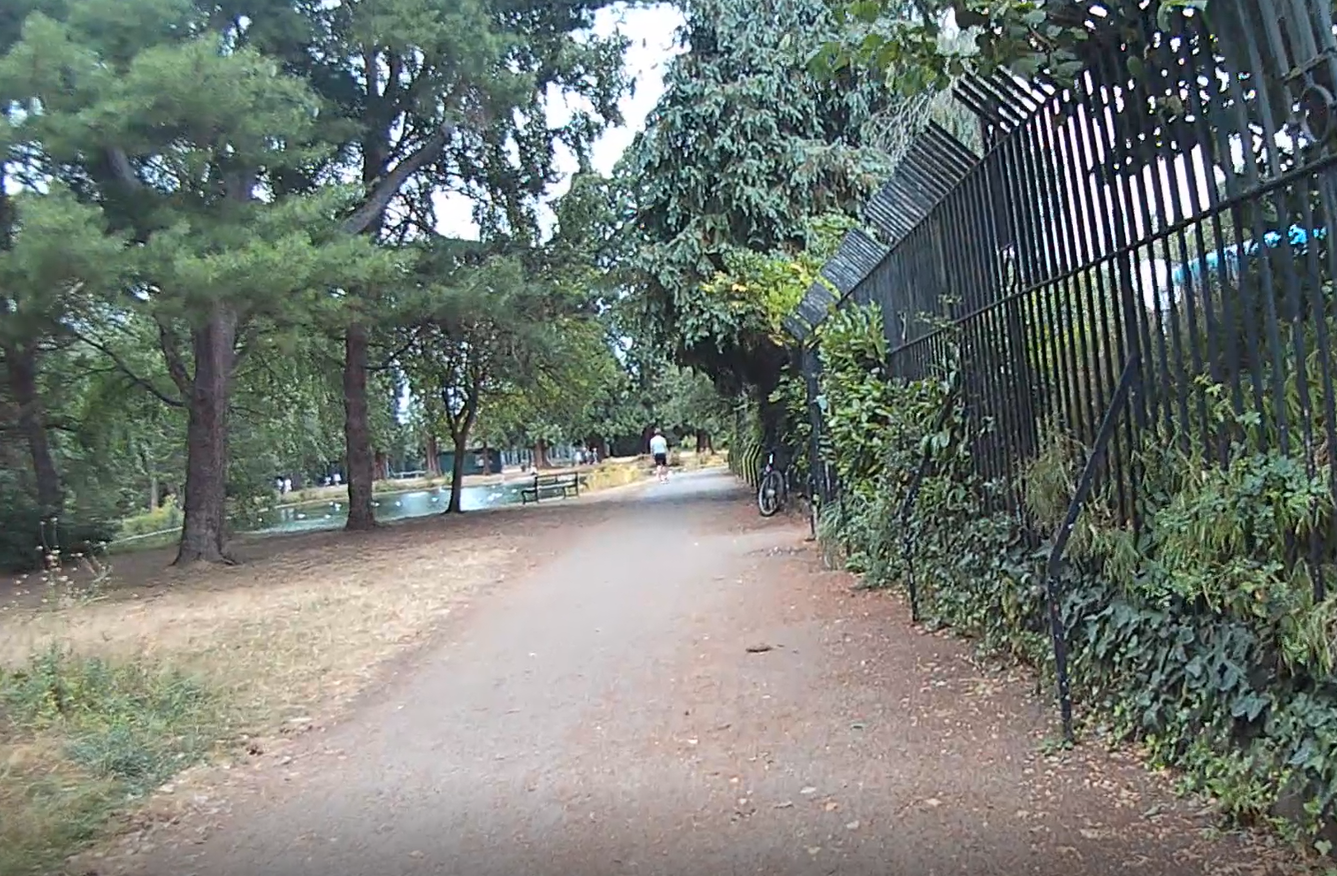
Isis Farmhouse and Iffley Lock
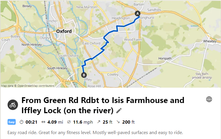
Komoot Tour to Isis Farmhouse.
The Isis Farmhouse is a lovely riverside pub located between Donnington Bridge Road and Iffley Lock. Once you’re at the Isis Farmhouse, Iffley Lock is a 1-2 min walk away. Neither is accessible by car, so they are really peaceful, relaxing places to be.
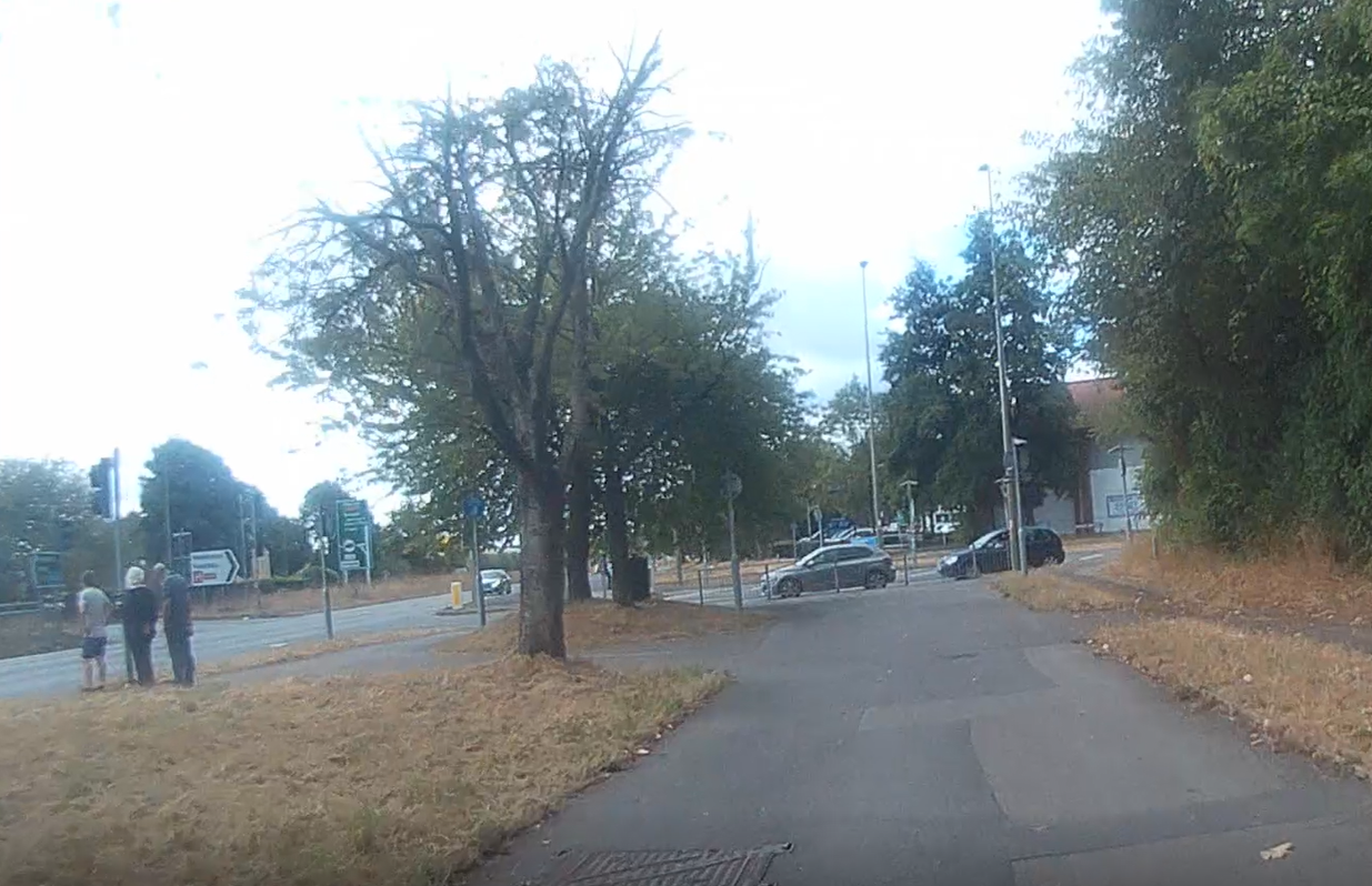
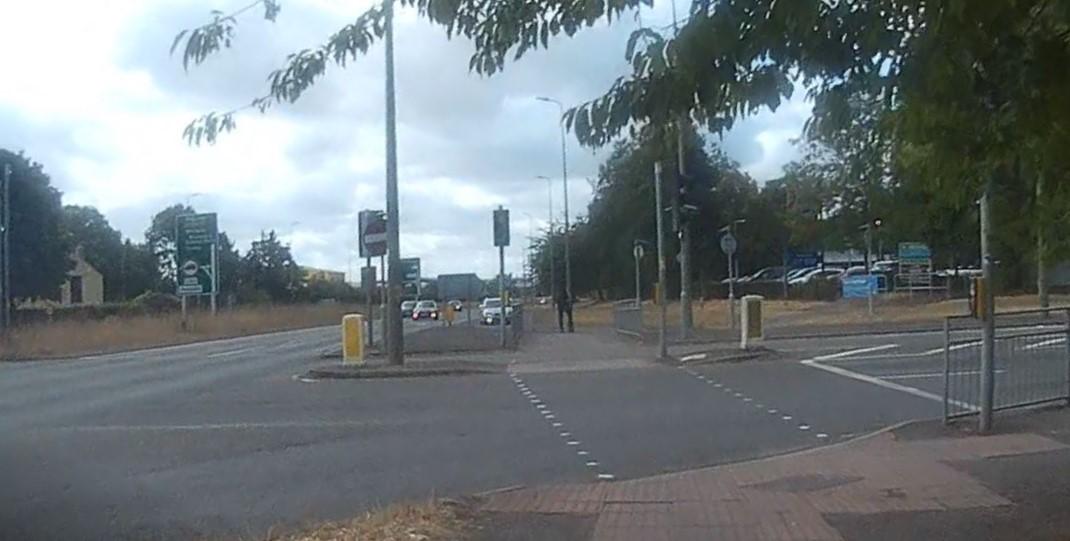
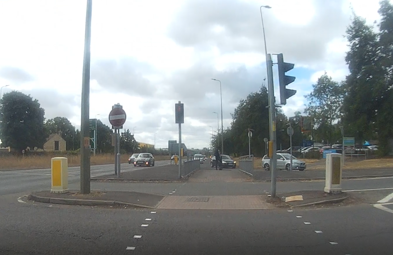
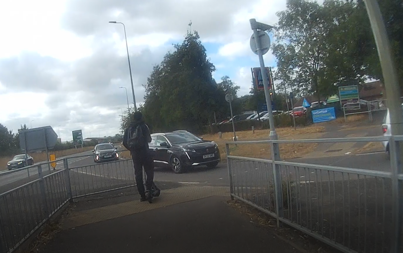
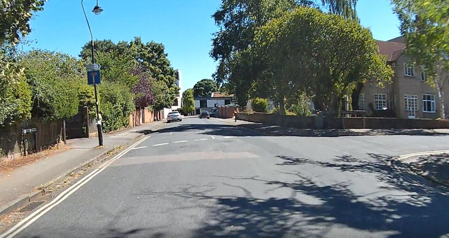
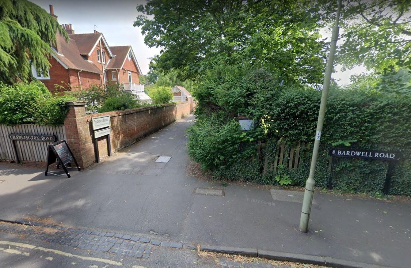
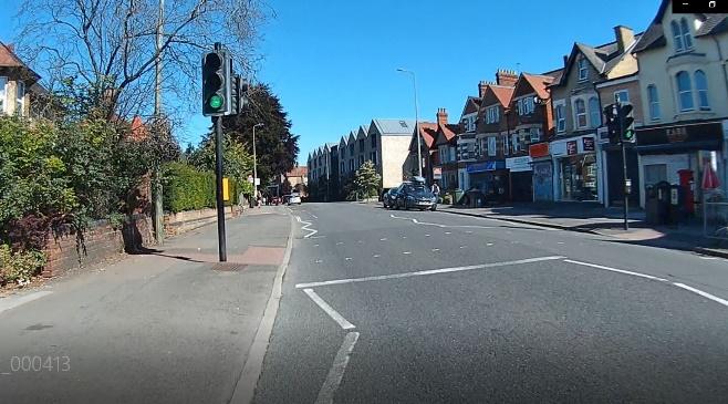
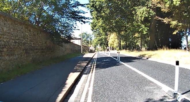
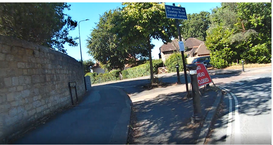
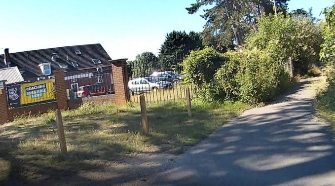
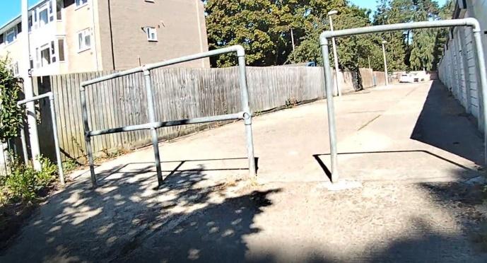
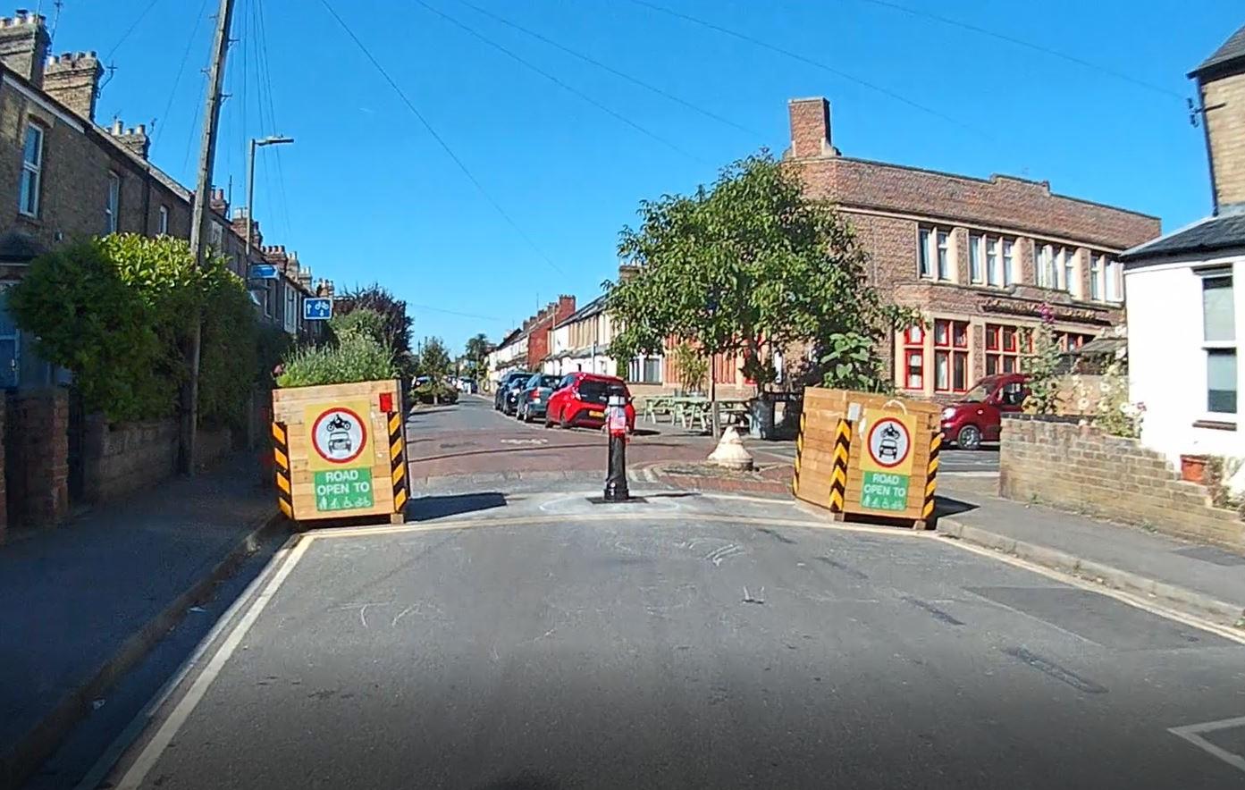
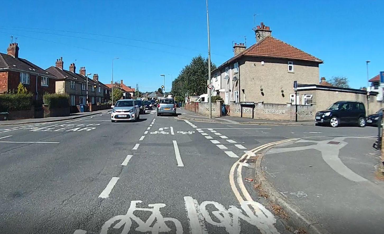
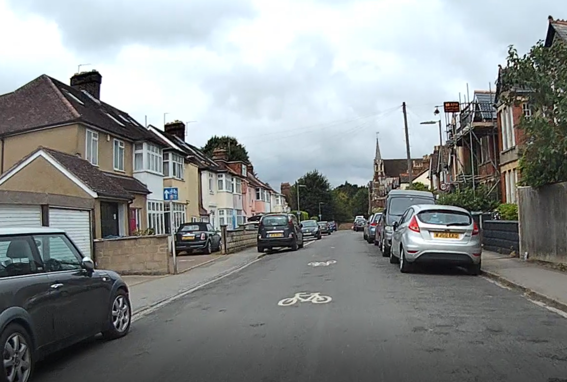
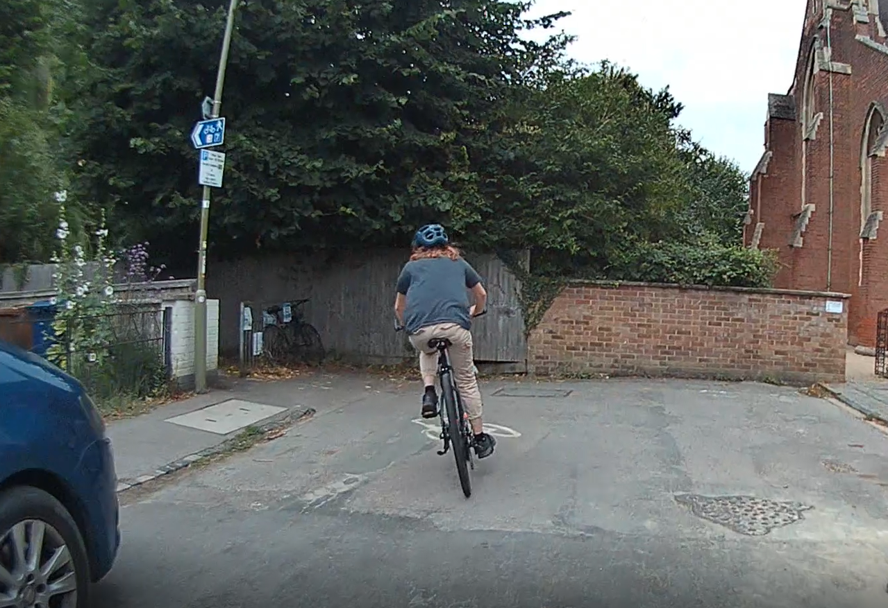
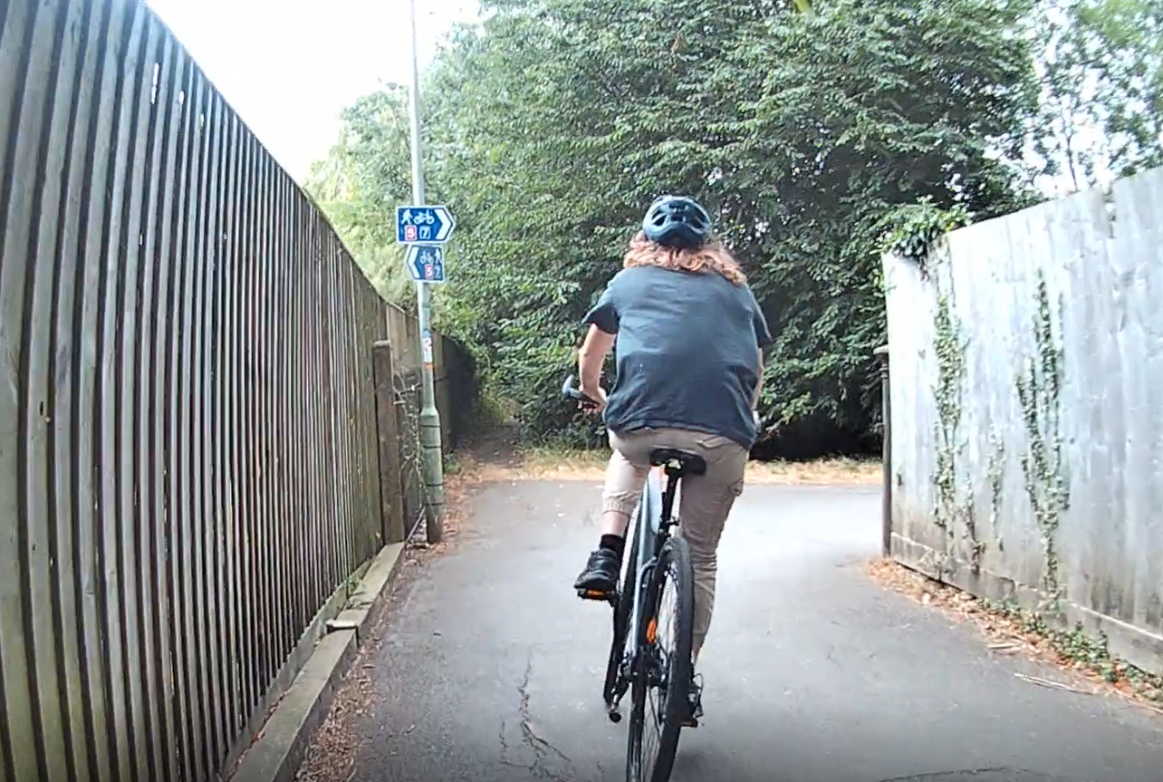
The route starts at Green Road Roundabout, goes through the residential streets of Quarry and Margaret Road, across Windmill Road and through the residential streets of New Headington, down Old Road (using the zebra crossing near Stapleton Road if needed to cross Old Road), across to the fantastic new protected cycle lanes on Warneford Lane, through the new trial Divinity Road low traffic neighbourhood, through the historic low traffic neighbourhood of Southfield Park, Bartlemas Close and Kenilworth Road, the Barracks Lane cycle path, across Cowley Road to Howard Street – now part of the currently-trialled St Marys low traffic neighbourhood and 2-way for cyclists, across Iffley Road to the historic Iffley Fields low traffic neighbourhood down Fairacres Road, along Meadow Lane, onto the protected cycle lane on Donnington Bridge Road and down onto the towpath from there. (You don’t need to cross Donnington Bridge Road – you can use the path on the same side as the protected cycle lane to get to the towpath.)
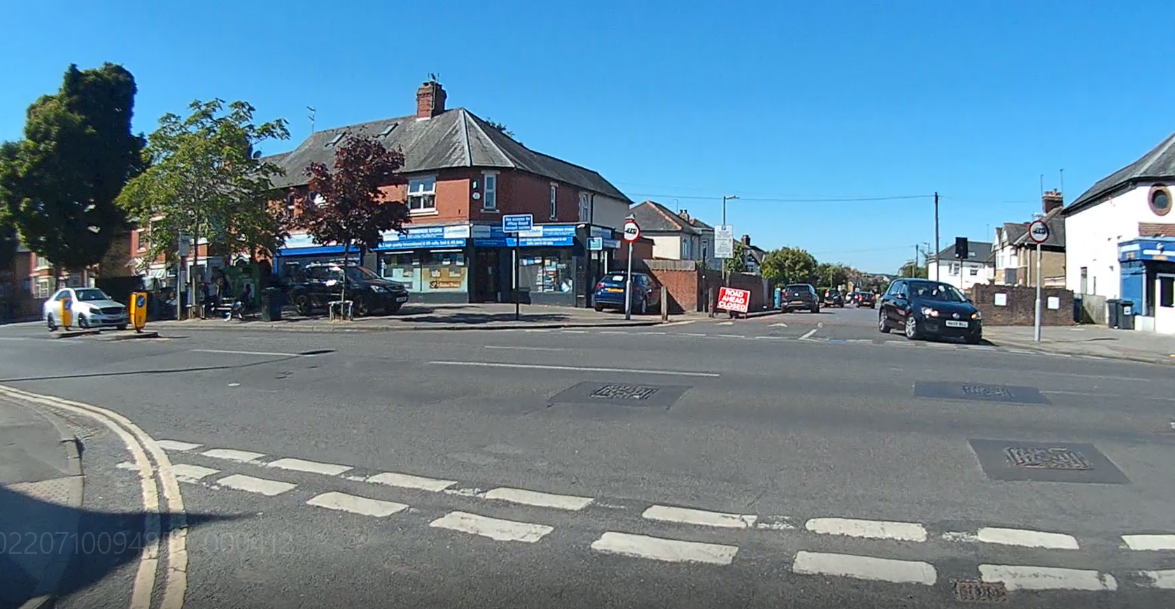
Crossing Cowley Road is the worst part of this journey, as there is no crossing nearby, but Howard Street is so much better now that cars can’t drive through it, and now that cycling is allowed both ways, it means you can take the same route back (previously you had to wiggle through various St Marys streets to Magdalen Road and cross Cowley Road onto Southfield Road on the way back).
This route would also be even better and safer if we had the Quarry and New Headington low traffic neighbourhoods we were promised and the Council received funding for, as this would have removed all the cut-through motor traffic along Quarry High Street, Quarry Road, Margaret Road, All Saints Road and Bickerton Road. It would also be improved if we had the Warneford Lane bus filter that the Council received funding for, as this would have removed the motor through-traffic that uses Old Road and Morrell Avenue to get to Marston, the City Centre and Cowley.
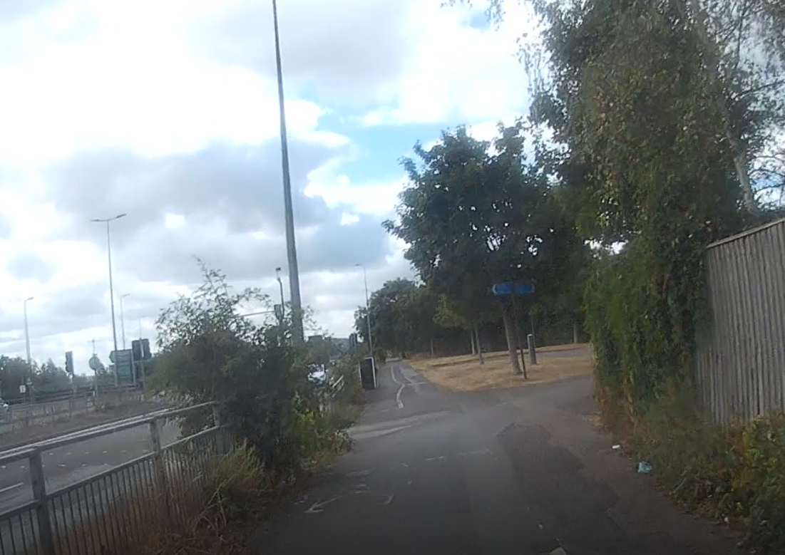
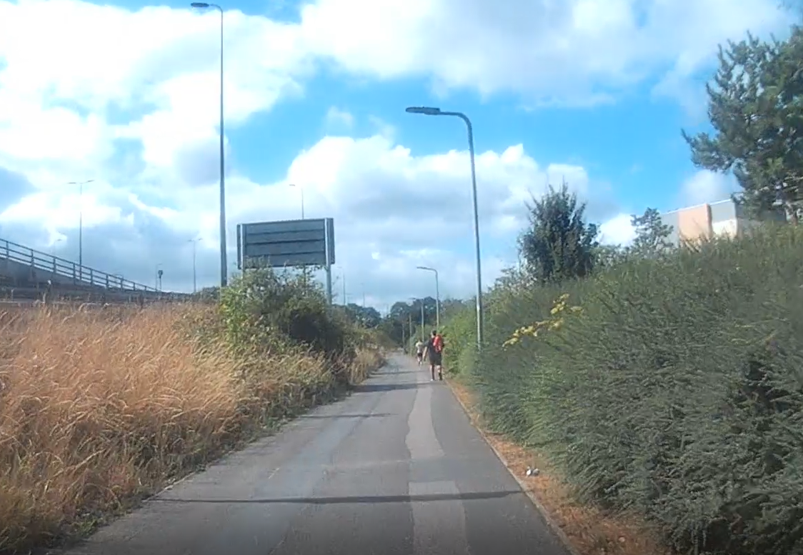
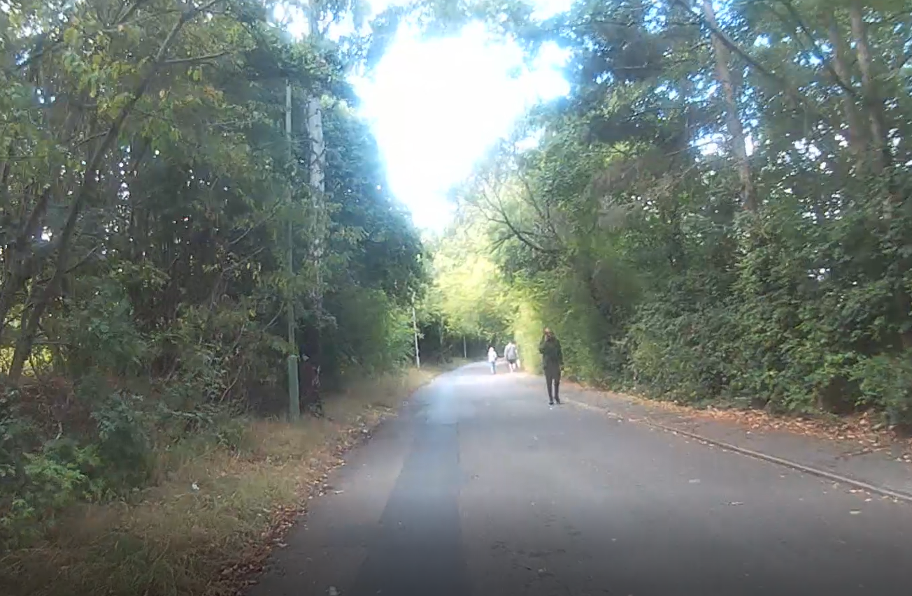
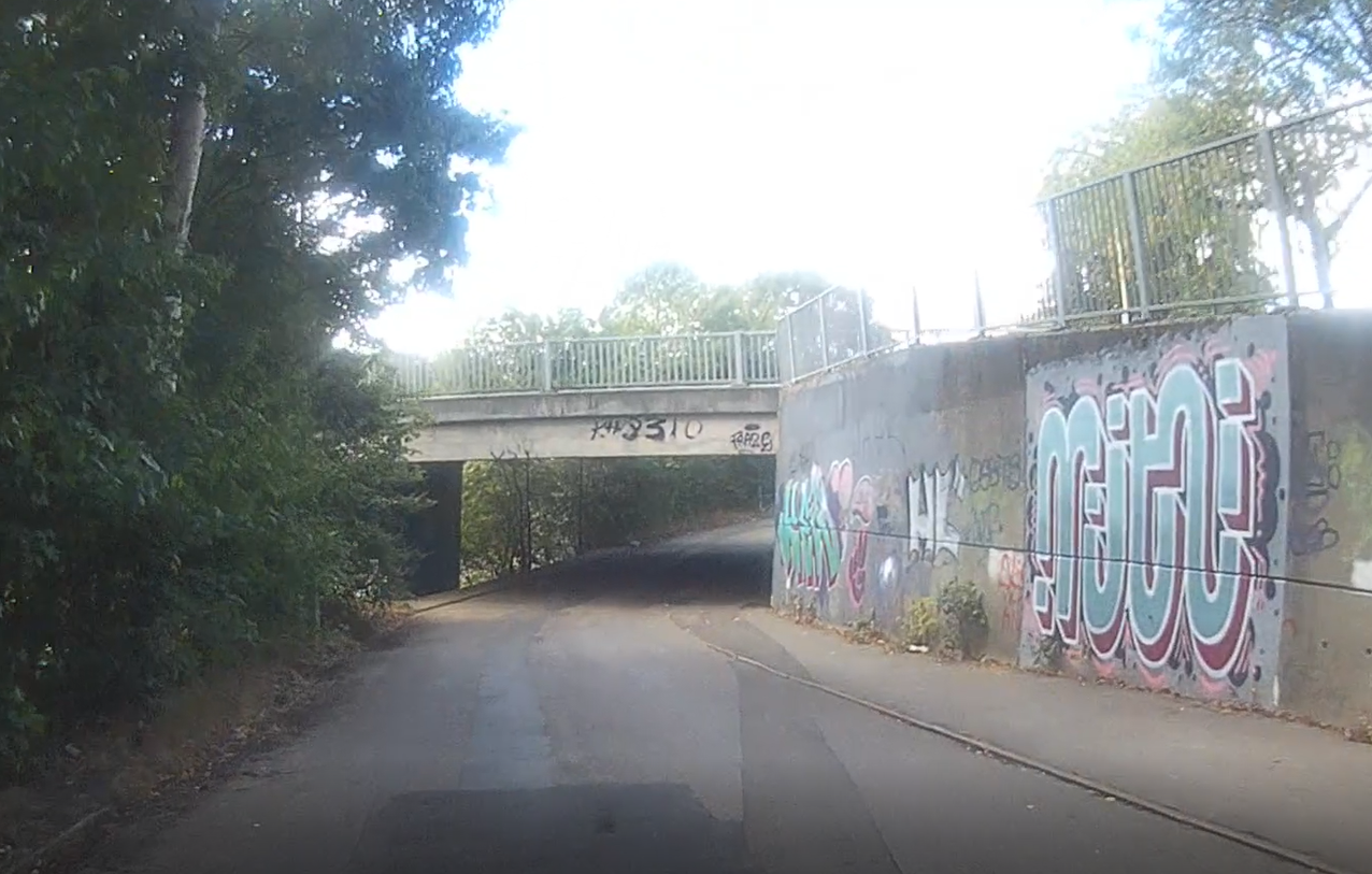
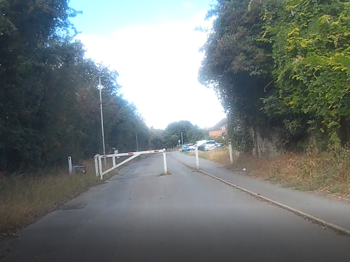
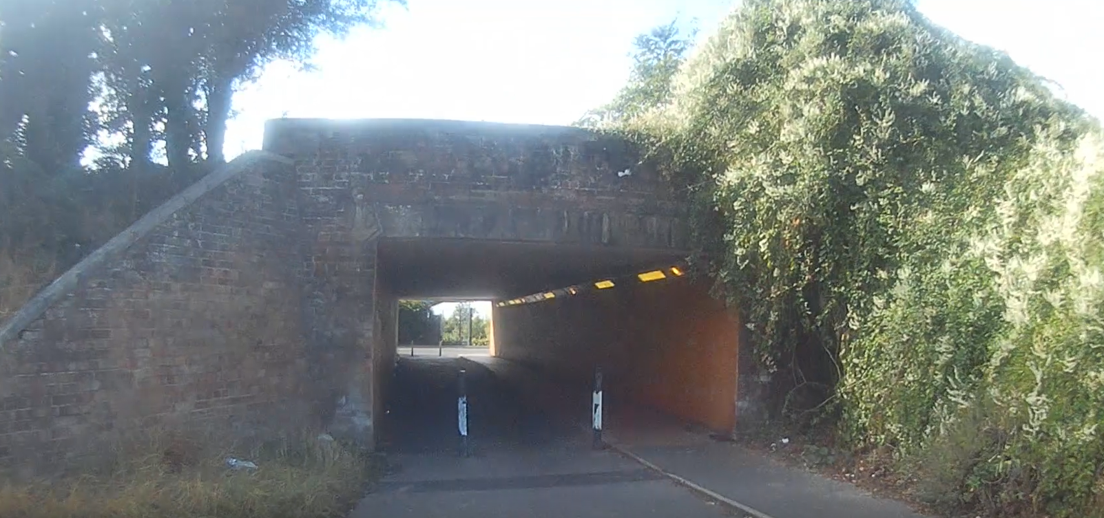
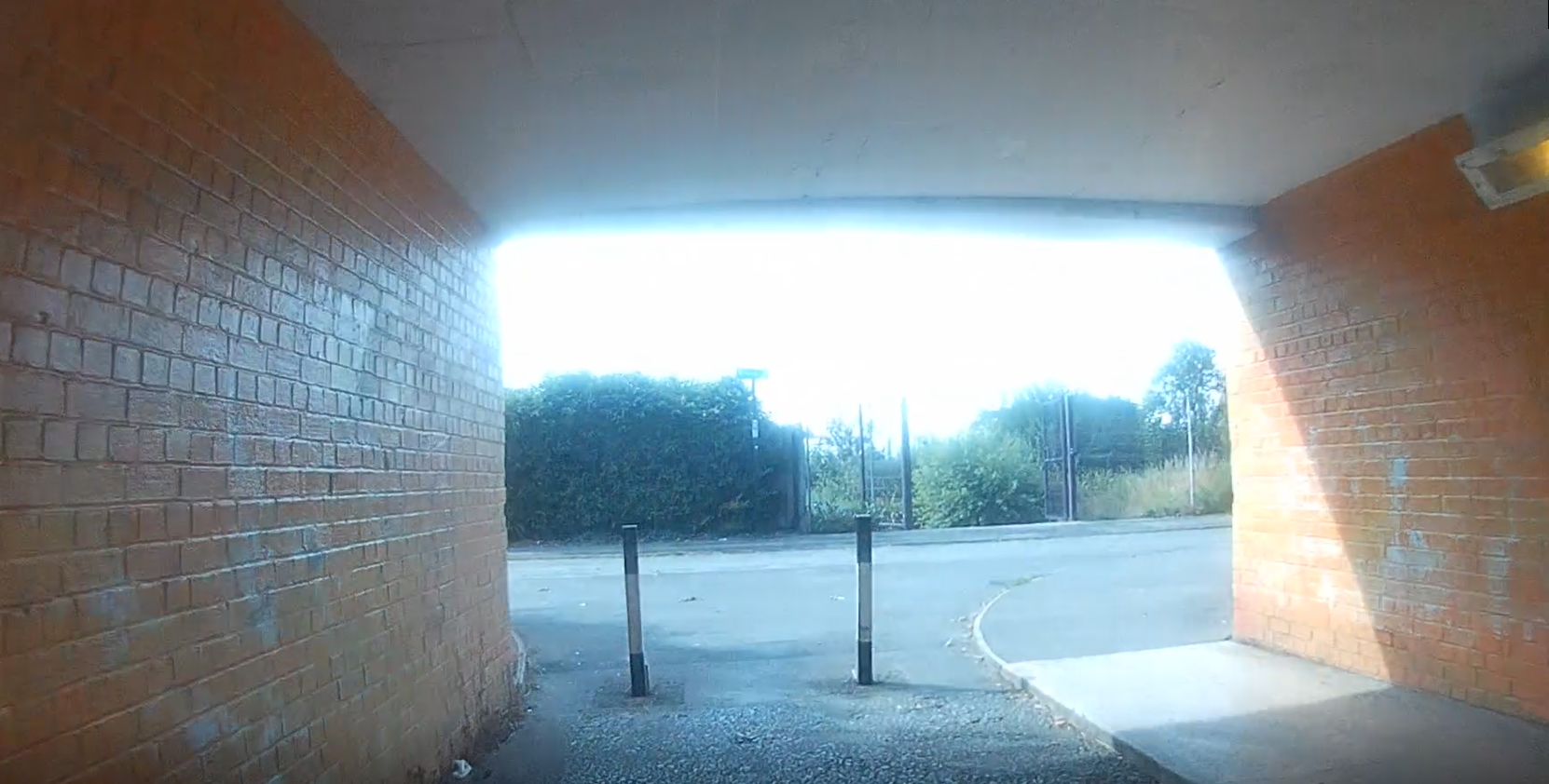
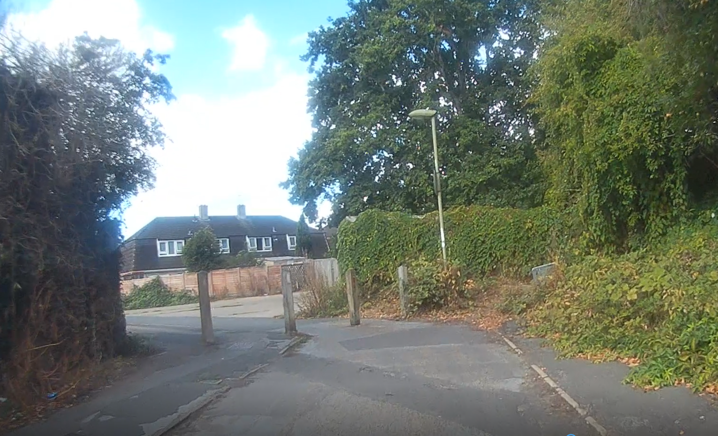
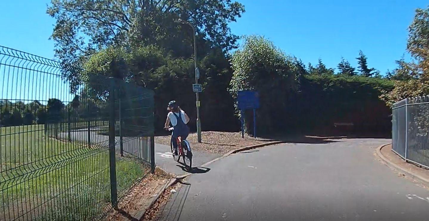
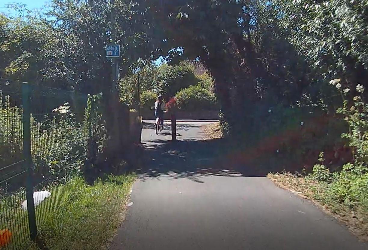
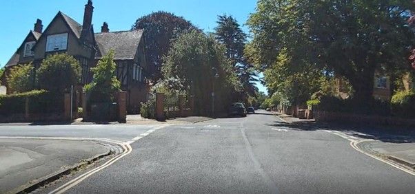
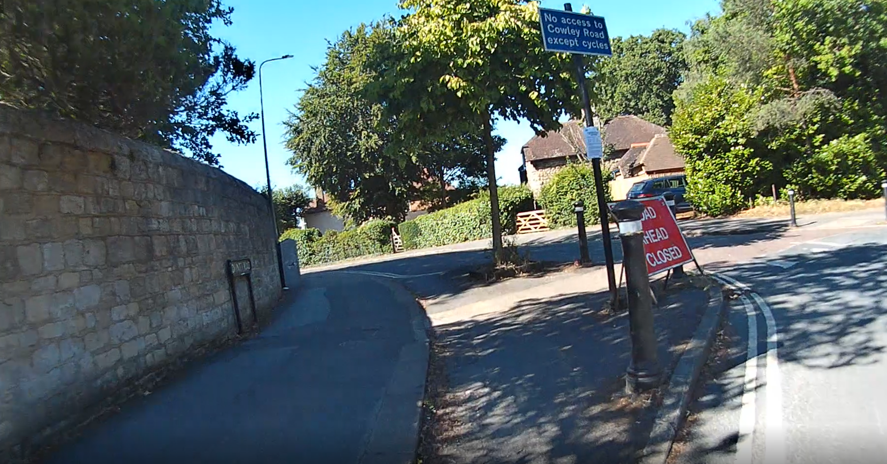
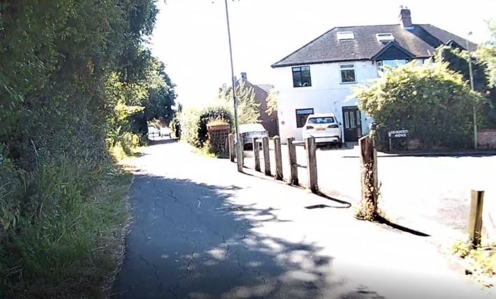
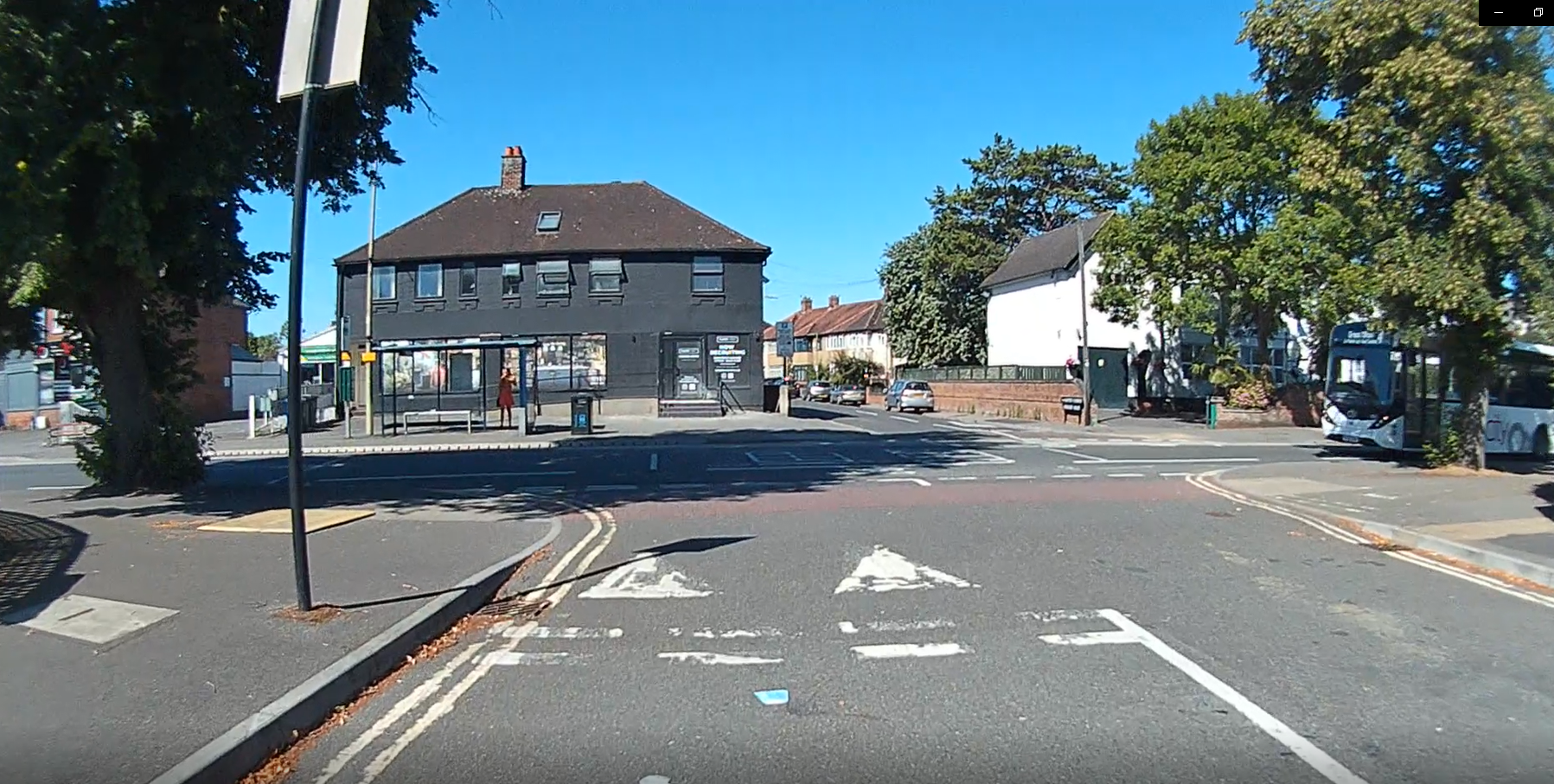
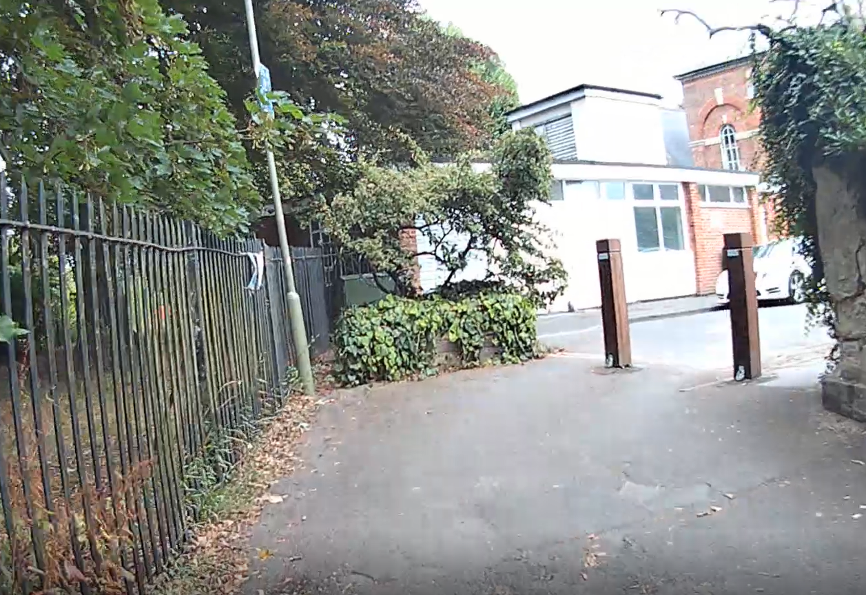
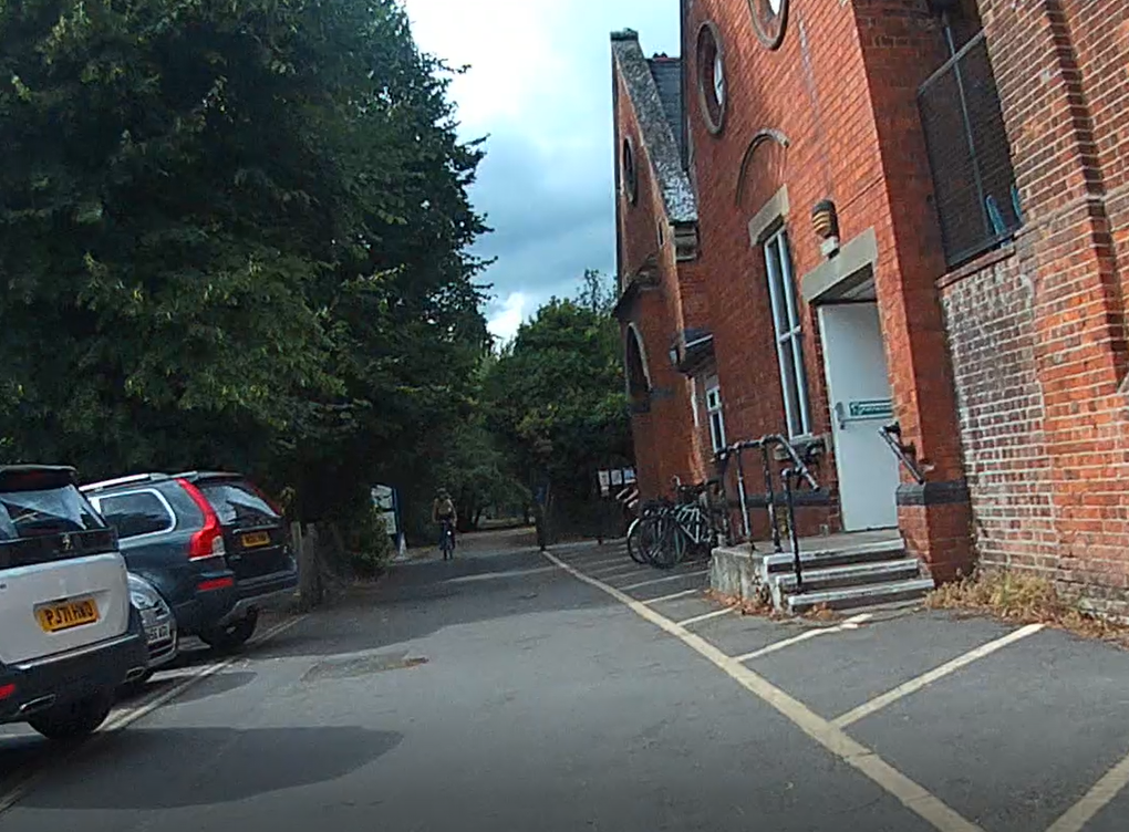
Some scenes from the route


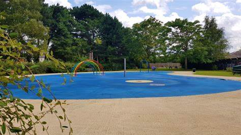
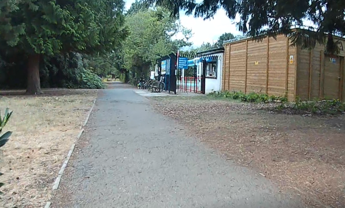
Hinksey outdoor pool
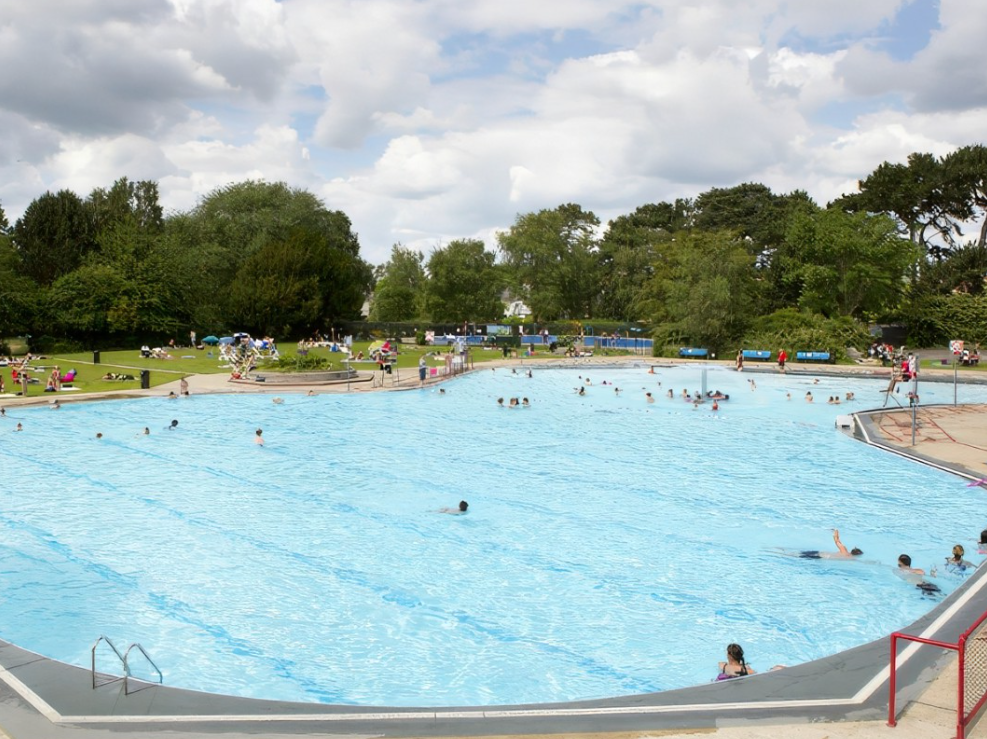
Hinksey Outdoor Pool - Swimming and Group Exercise - Fusion Lifestyle.
From Green Road Roundabout to Hinskey Outdoor Pool
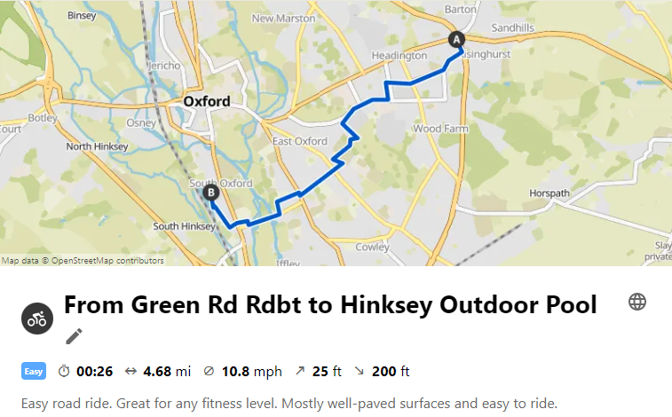
Hinskey outdoor pool is open in the warmer months and is great swimming pool suitable for children and adults, with facilities including loos, changing rooms, showers and a café and plenty of grassy space to sit and relax. It is very popular as Oxford’s only outdoor pool, and it’s worth booking ahead via the Fusion website linked above to make sure you can get a space at your preferred time.
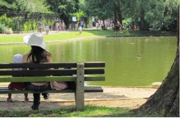
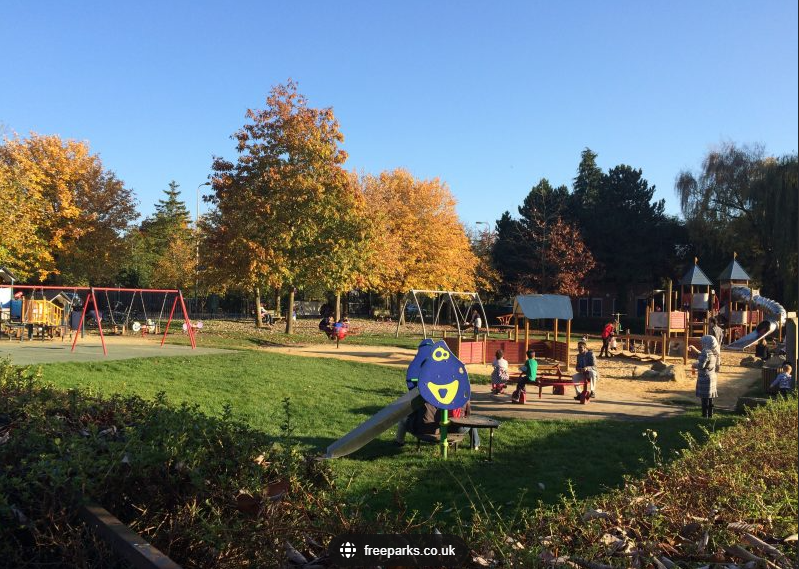
Situated in Hinksey Park, the pool is very close to the other Hinksey Park amenities including a splash park, children’s play area, tennis courts and lake (see more information here:
Parks in Oxford - Hinksey Park | Oxford City Council.
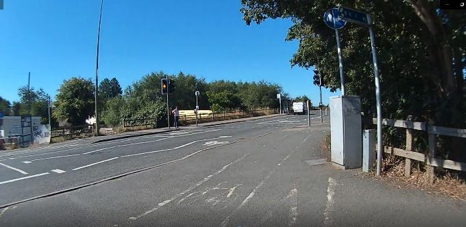
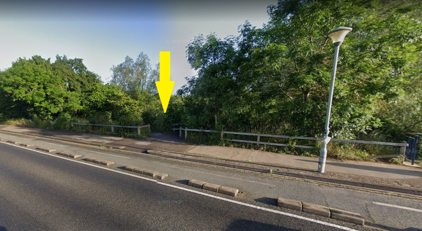
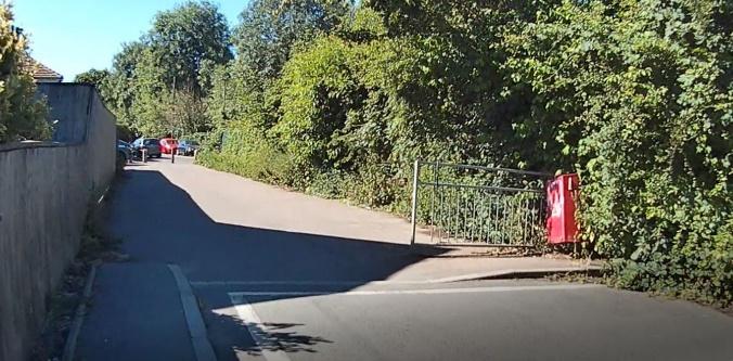
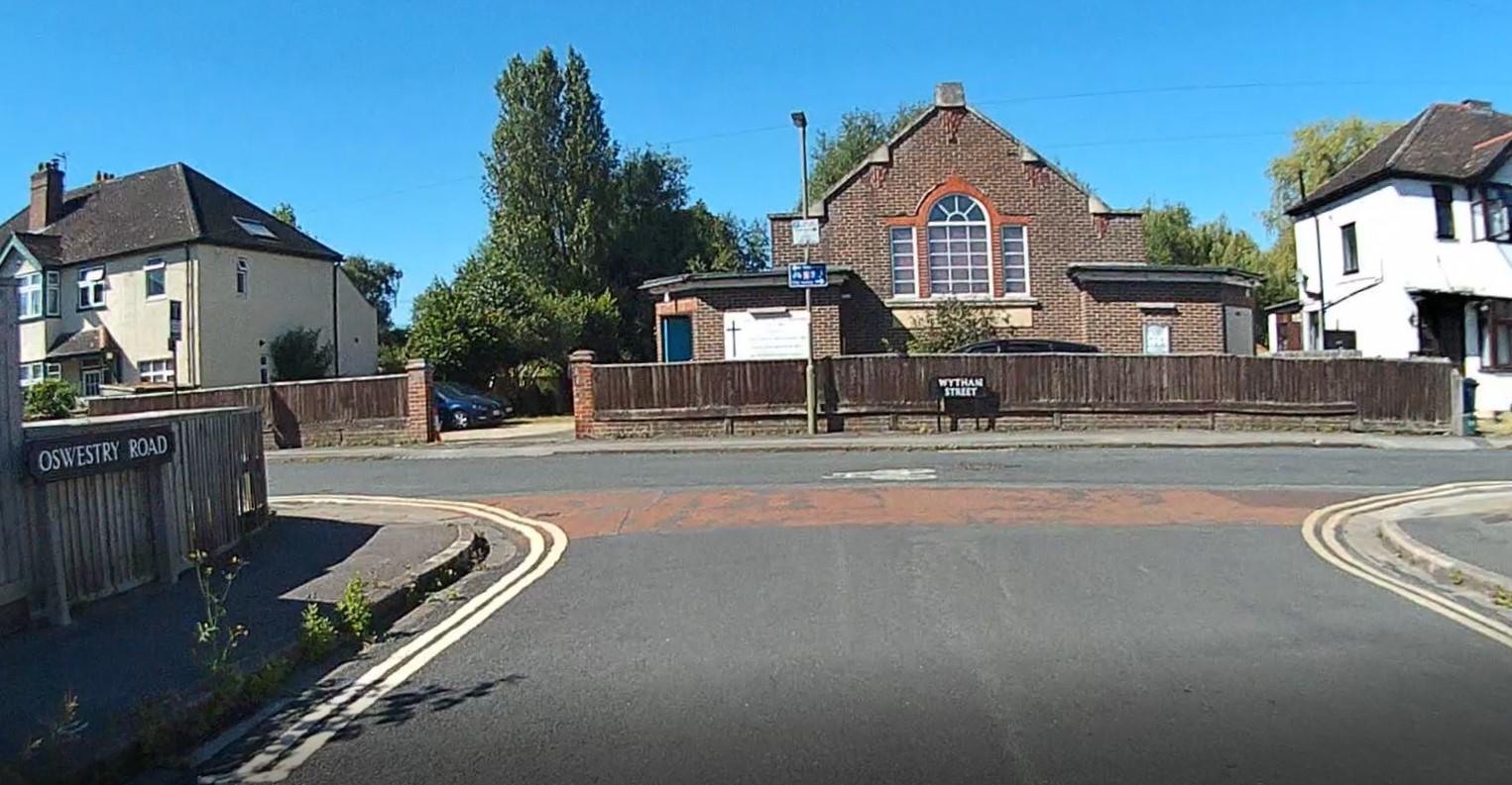
The route starts at Green Road Roundabout, goes through the residential streets of Quarry and Margaret Road, across Windmill Road and through the residential streets of New Headington, down Old Road (using the zebra crossing near Stapleton Road if needed to cross Old Road), across to the fantastic new protected cycle lanes on Warneford Lane, through the new trial Divinity Road low traffic neighbourhood, through the historic low traffic neighbourhood of Southfield Park, Bartlemas Close and Kenilworth Road, the Barracks Lane cycle path, across Cowley Road to Howard Street – now part of the currently-trialled St Marys low traffic neighbourhood and 2-way for cyclists, across Iffley Road to the historic Iffley Fields low traffic neighbourhood down Fairacres Road, along Meadow Lane, onto the protected cycle lane on Donnington Bridge Road, through the historic Fox Cresent and Chatham Road low traffic neighbourhood, across Abingdon Road to Oswestry Road (using the nearby pedestrian crossing if required), along the historic low traffic residential street Wytham Street, then onto the lakeside cycle path to Lake Street and turn down a pedestrian and cyclist-only entrance to Hinksey Park.
Crossing Cowley Road is the worst part of this journey, as there is no crossing nearby, but Howard Street is so much better now that cars can’t drive through it, and now that cycling is allowed both ways, it means you can take the same route back (previously you had to wiggle through various St Marys streets to Magdalen Road and cross Cowley Road onto Southfield Road on the way back).
This route would also be even better and safer if we had the Quarry and New Headington low traffic neighbourhoods we were promised and for which the Council received funding, as this would have removed all the cut-through motor traffic along Quarry High Street, Quarry Road, Margaret Road, All Saints Road and Bickerton Road. It would also be improved if we had the Warneford Lane bus filter that the Council received funding for, as this would have removed the motor through-traffic that uses Old Road and Morrell Avenue to get to Marston, St Clements, the City Centre and Cowley.
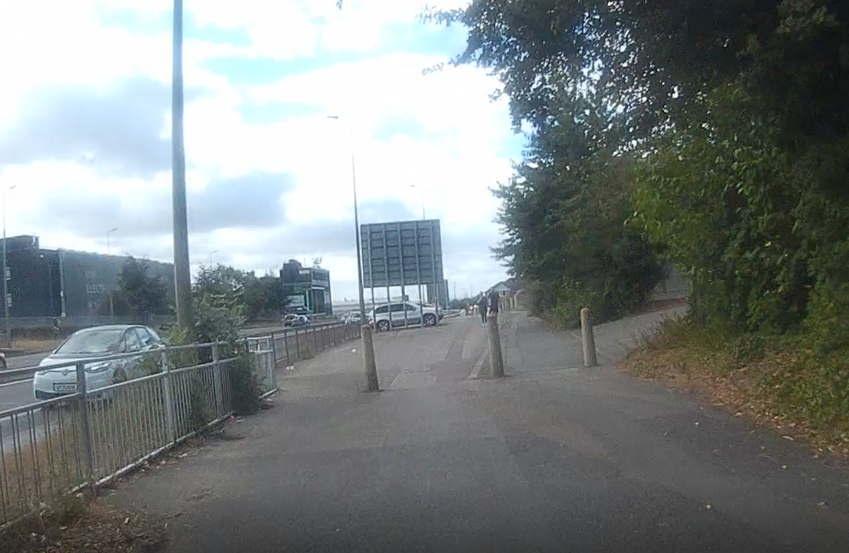
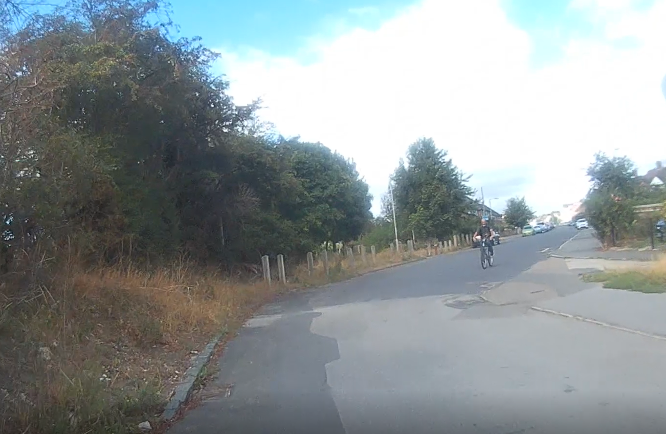
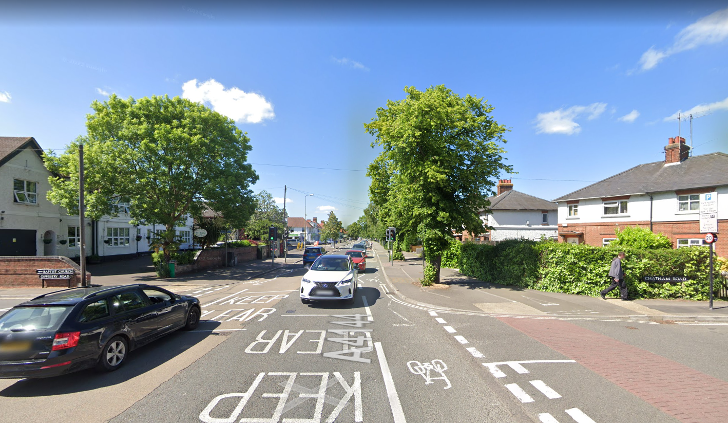
Some scenes from the route


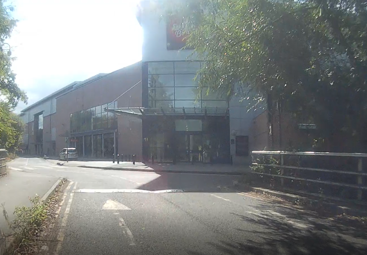
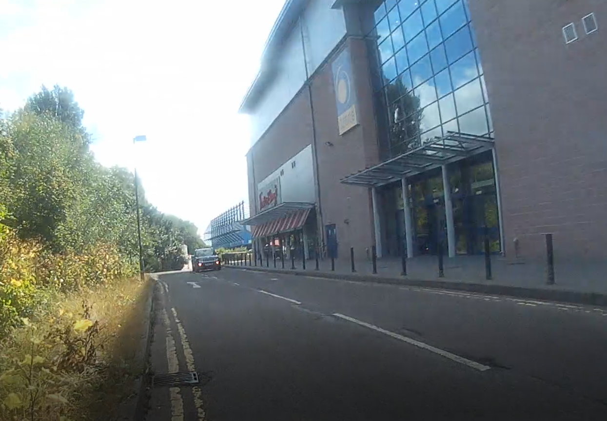
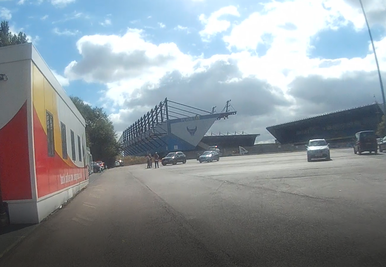
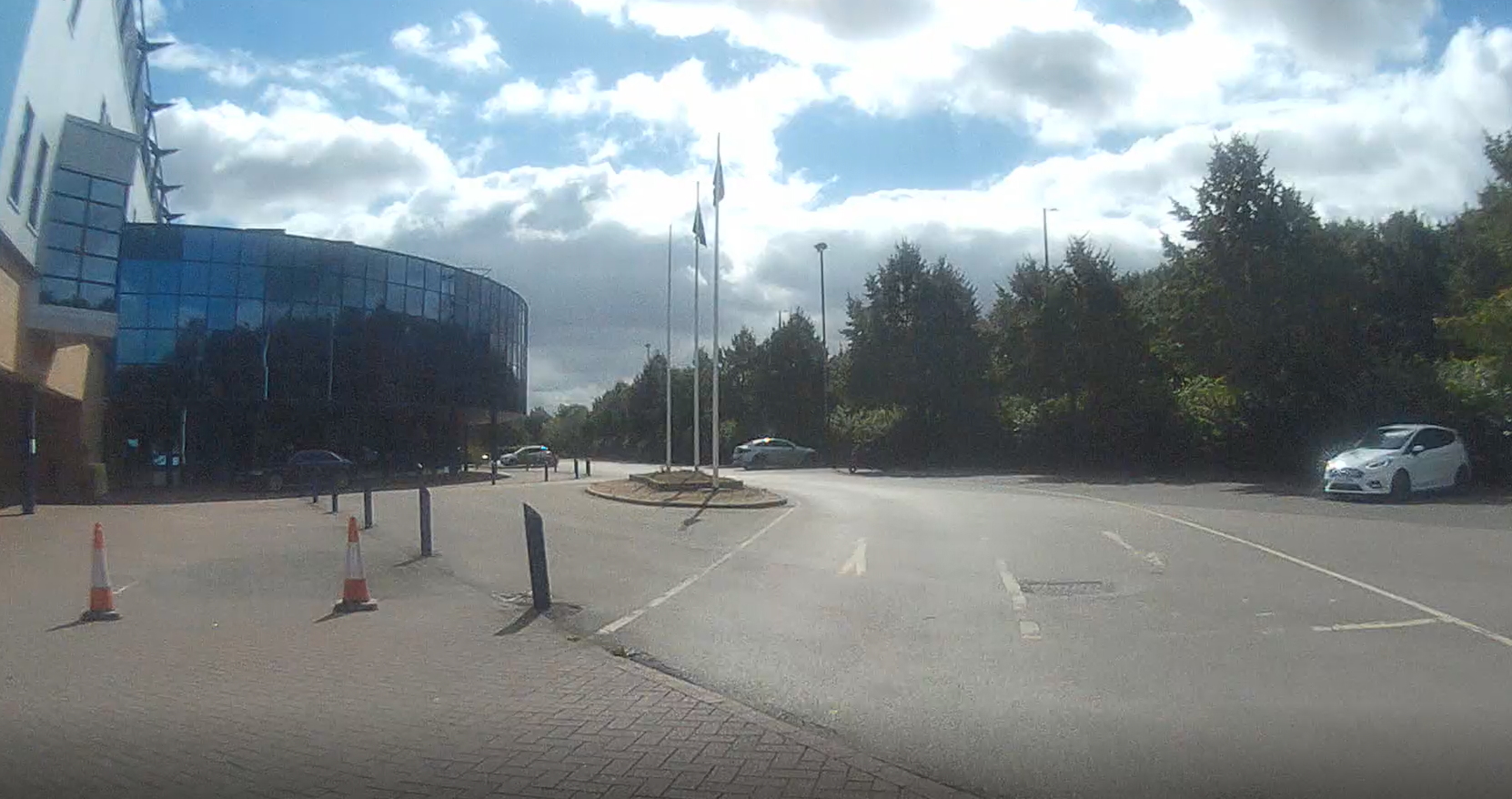
Kassam Stadium and Ozone Leisure Park
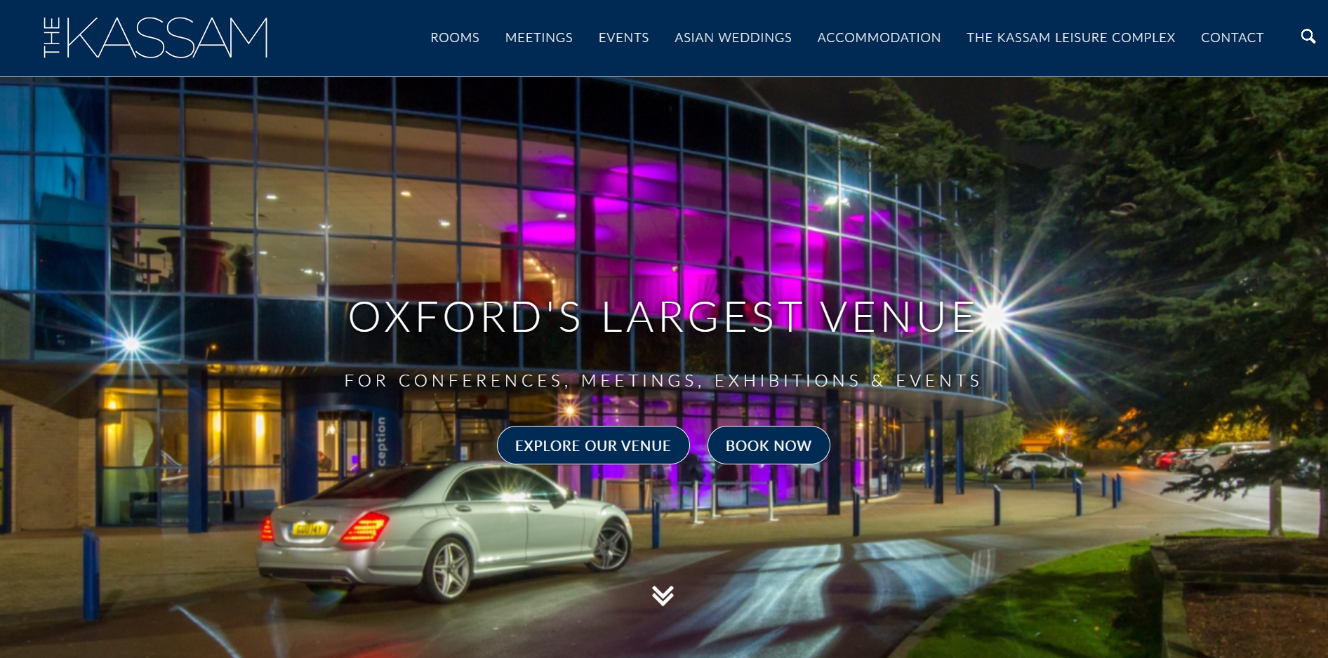
The Kassam Stadium Conference and Events Centre.
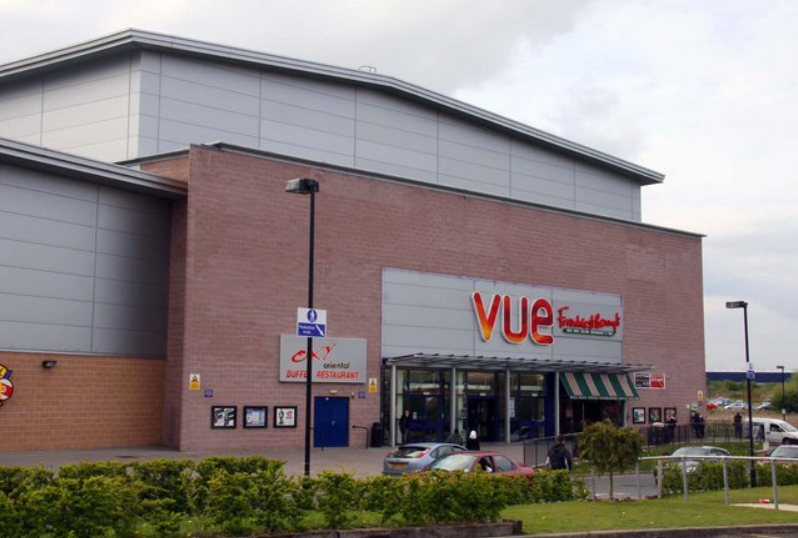
Oxford Cinema | Oxford Cinema Film Listings & Times | Vue (myvue.com).
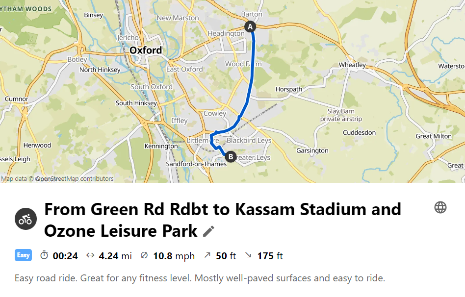
From Green Rd Rdbt to Kassam Stadium and Ozone Leisure Park (komoot.com).
As Kassam Stadium is the nearest Covid vaccination centre to Headington, this is a place many of us have visited or will need to visit. Ozone Leisure Park is also home to Vue Cinema, Hollywood Bowl, Frankie & Benny’s, Laser Kombat and other venues popular with families.
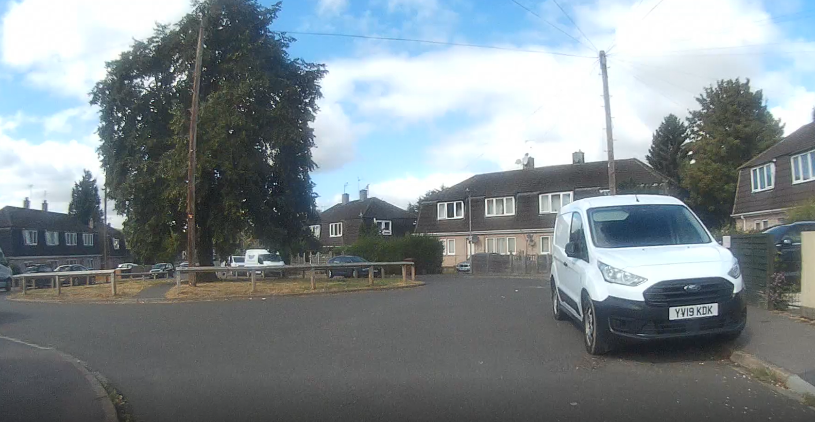
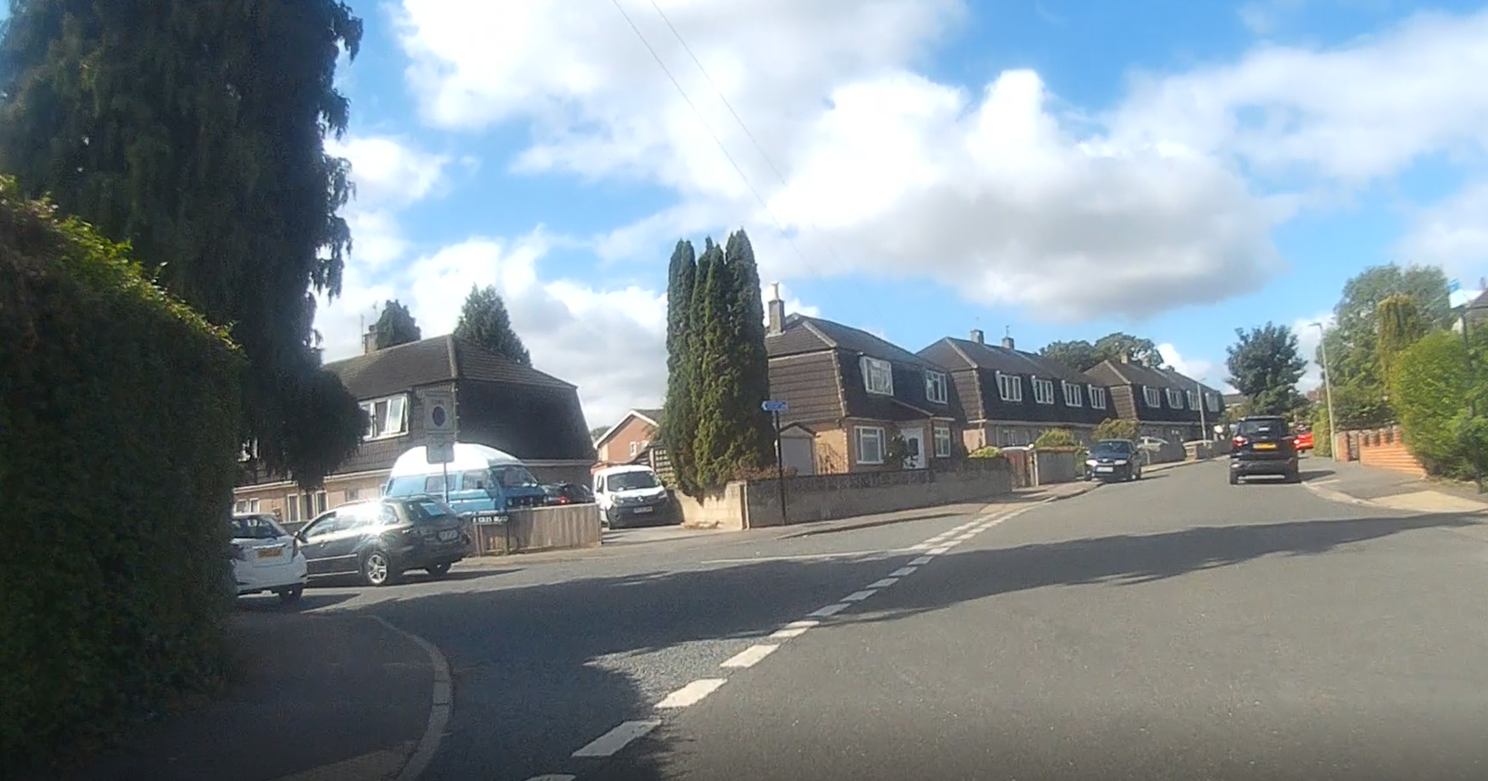
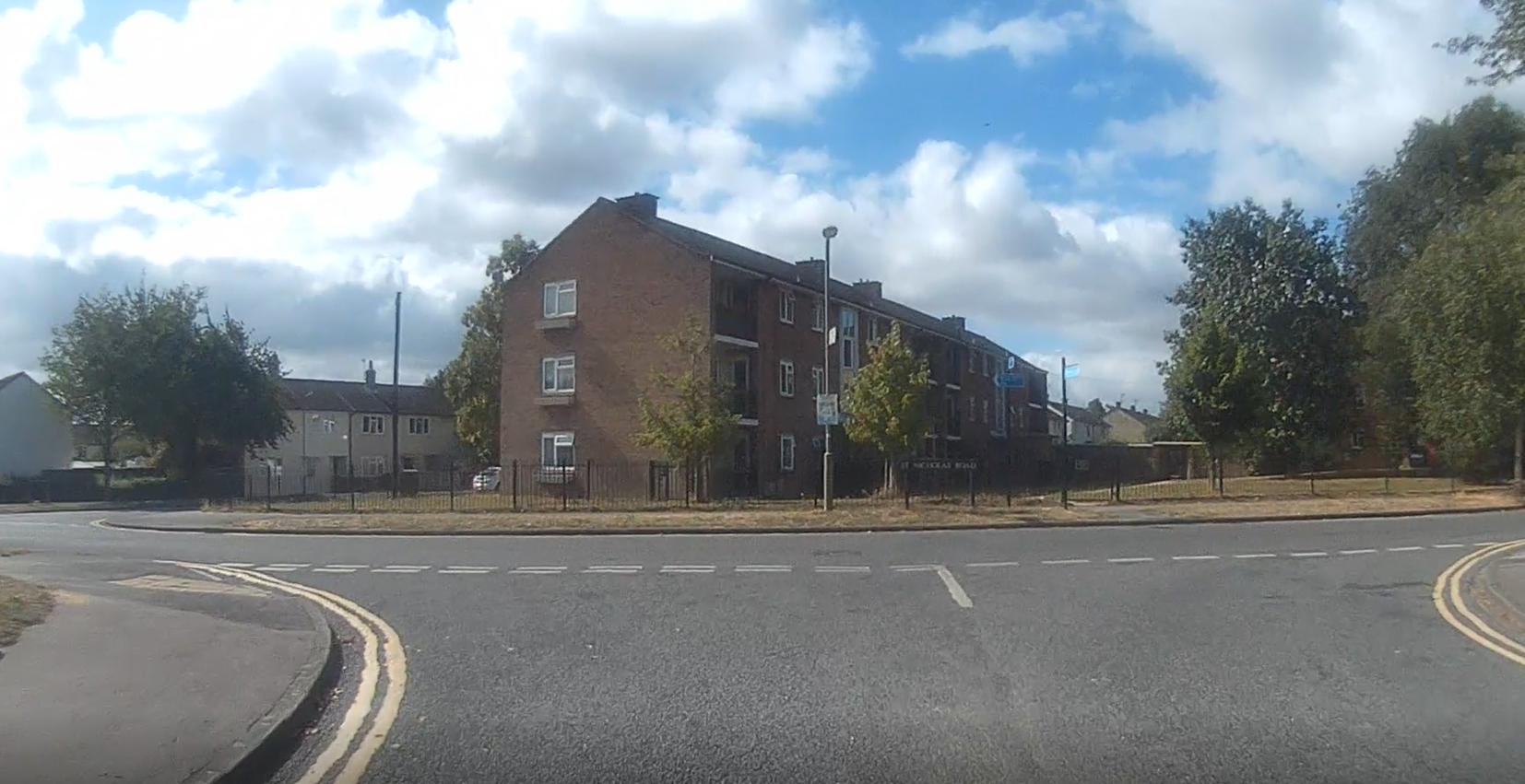
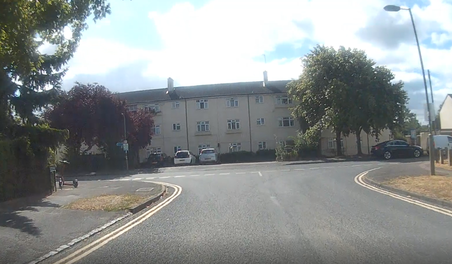
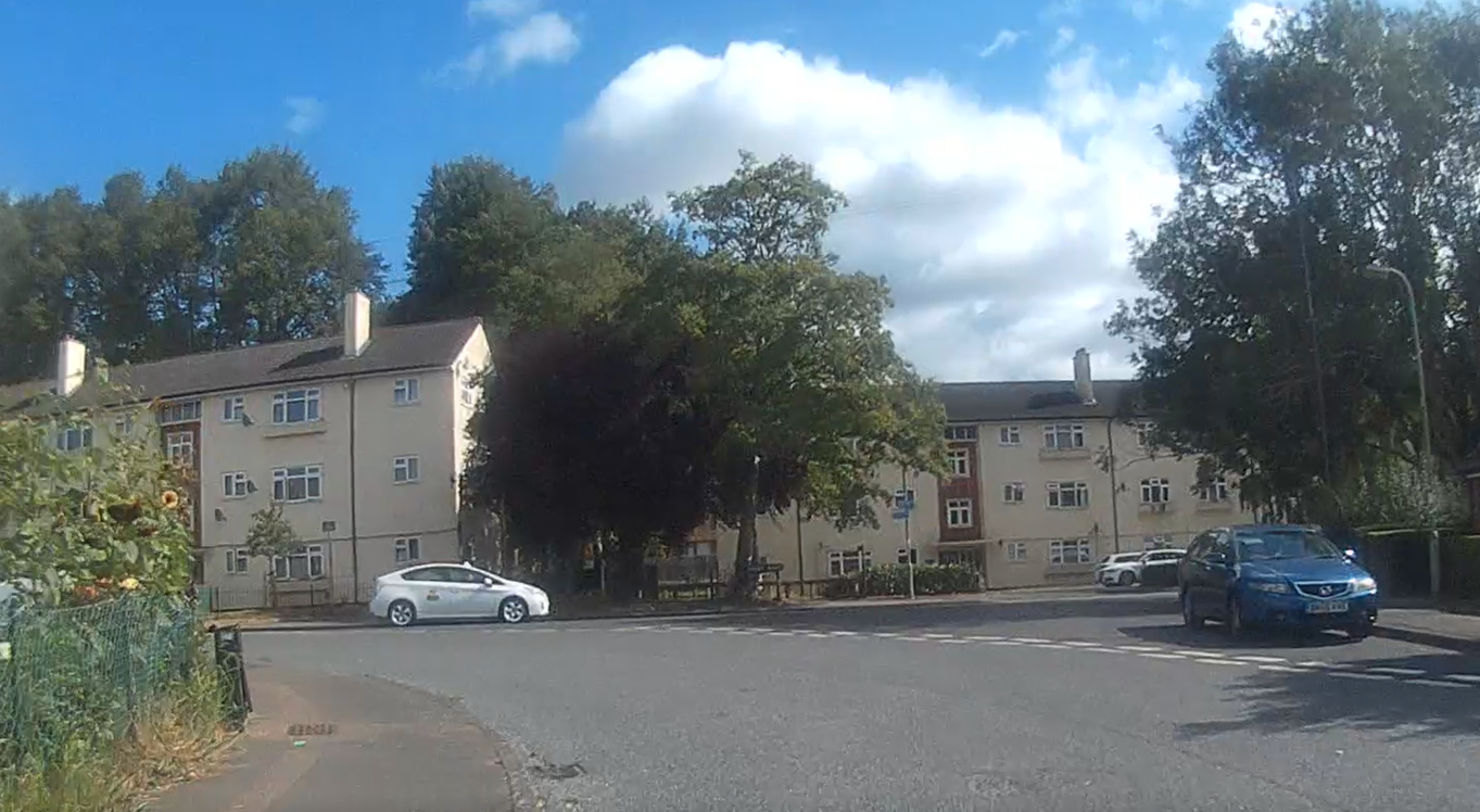
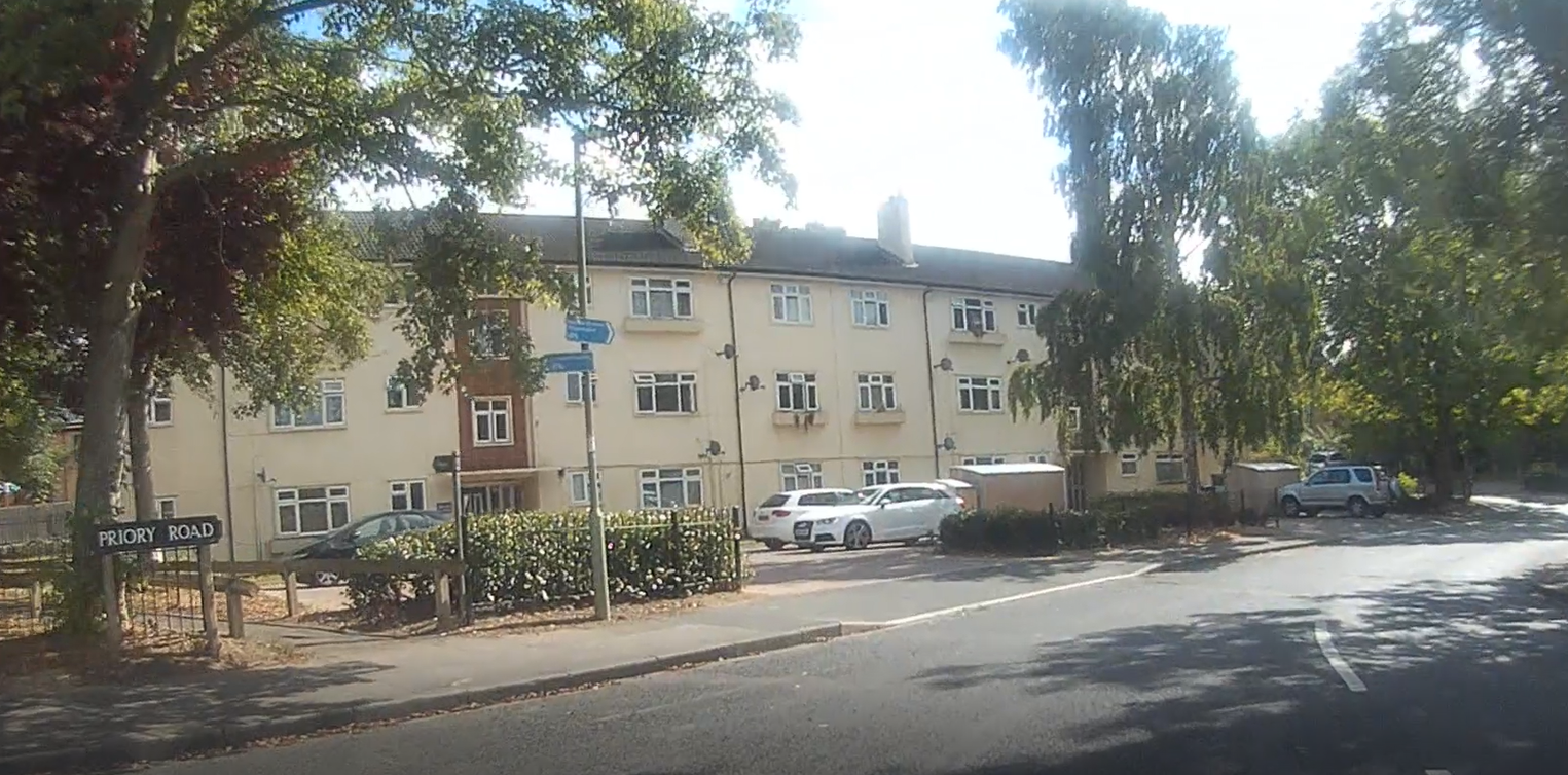
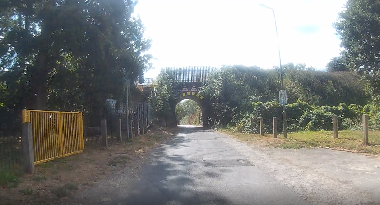
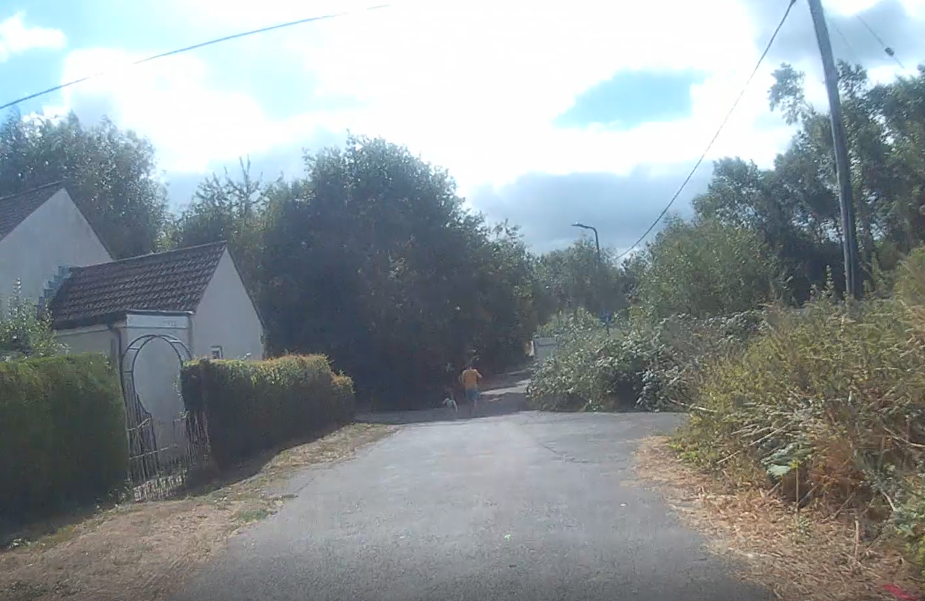
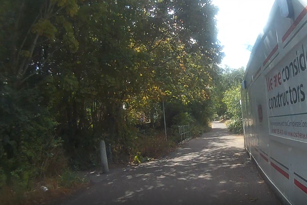
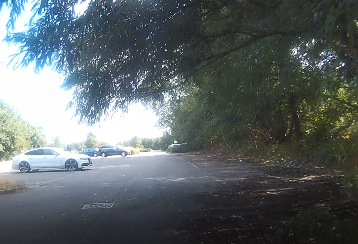
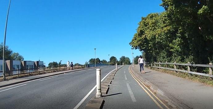
This route follows the Ring Road cycle path from Green Road Roundabout until it becomes Long Lane in Littlemore, then turns off left under the ring road into Littlemore, following an official cycle route through Littlemore using Champion Way, Giles Road, St Nicholas Road, Minchery Road and Priory Road. The turn off Long Lane is signposted with a blue cycling route sign to Oxford Academy, then with blue cycling route signs to Kassam Stadium/Oxford Science Park.
This route comes with a warning though: the bike parking at Kassam Stadium and Ozone Leisure Park is absolutely appalling/non-existent. (When we went there we left our bikes directly outside the doors of the vaccine centre and asked the people at the door to watch them for us.)
If you’d rather avoid the Ring Road, there is an alternative route through Wood Farm you can try: https://www.komoot.com/tour/895540306?ref=wtd.
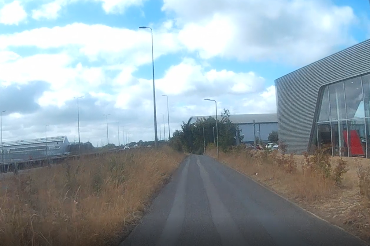
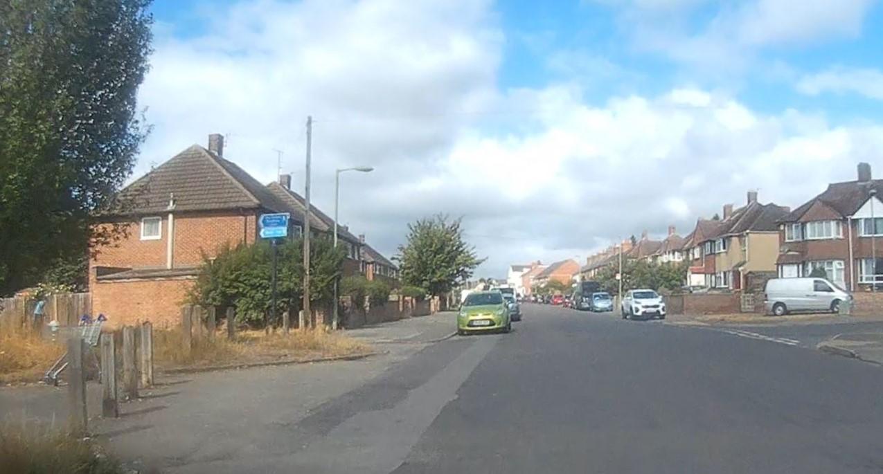
Some scenes from the route